Memories from a trip to Keswick - 2018
March 2018 - Gordon and Jane had invited me, Alison, Ann, Swarbs, Jon
and Sarah for our annual spring pilgrimage to Keswick. The country had been
hit by the 'Beast from the east' in recent weeks so we were ready for snowy
conditions and the possibility of numerous icy slips. I'd set myself the
target of completing the Wainwrights before the end of the year so had
already planned to take on a few of the Lake District's less glamorous hills
in an attempt to increase my hill count.
Jane had survived the year despite a rather dubious marriage where financial
advantage was seen as the only reason for finally sticking herself to the
dodgy Gordon.
SUNDAY - Lords Seat, Broom Fell, Graystones and Whinlatter from the
Whinlatter Centre - 8 miles\2500ft ascent.
All of us had walked to Lords Seat before but none of us had taken in the
other three hills. Jon, however, believed he had climbed Broom Fell but
later in the day suggested that this may not be the case. We'd already
conquered the terror that is Barf so there was no need to climb its heathery
boggy slopes again.
The weather was superb.
One of the challenges of the day was to somehow link Graystones to
Whinlatter as numerous searches on the internet hadn't resulted in locating
an easy connection between the two. This forced me to plan on taking the
long descent route off Graystones to the Whinlatter pass, walking up the
pass and taking on Whinlatter from the eastern end. Not ideal but seemingly
the only option. We'd always have the option of missing out Whinlatter if
decreasing energy levels or death occurred but I didn't want to have to
revisit the area again unless absolutely necessary.
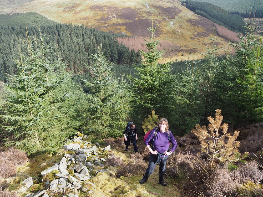
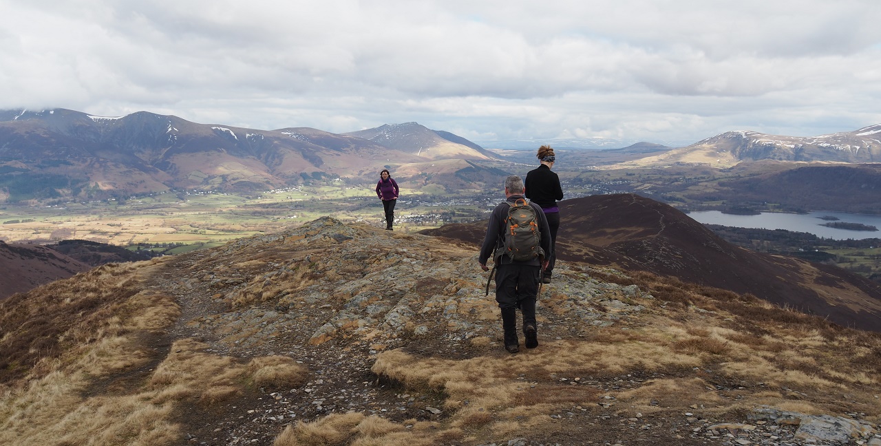
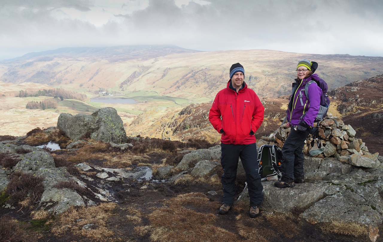
After waiting for Sarah to complete a rather long toilet visit we set off
from the Whinlatter Centre with Alison and Swarbs acting as our Lords Seat
navigation vanguards. They'd both walked the confusing route through the
forest on numerous occasions so were well placed to take us directly to the
first summit of the day.
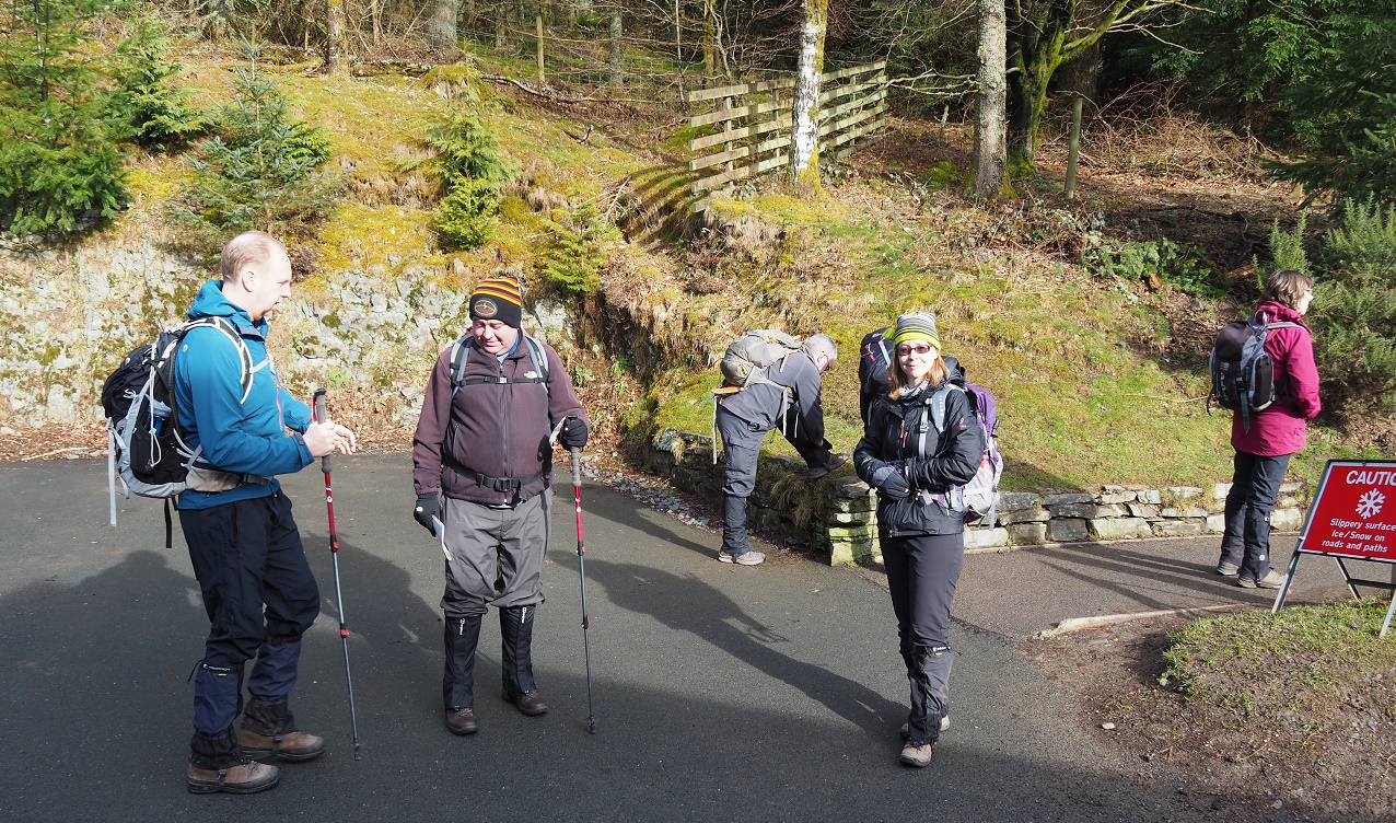
Waiting for Sarah at the Whinlatter Centre. Jon and Dave enjoy a healthy
discussion about poles whilst Ann stares at trees.
Alison and Dave were on form. We breezed along the forest tracks and were
soon climbing the easy slopes that lead to the summit of Lords Seat.
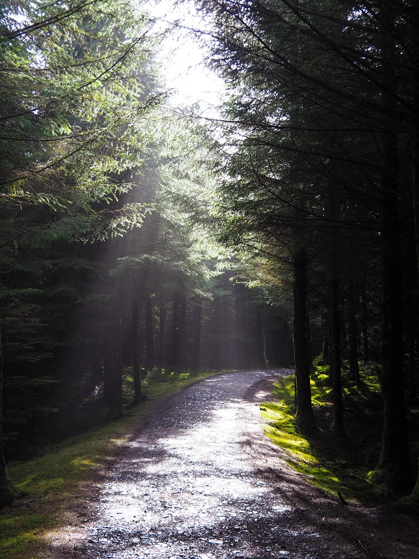
A heavenly glow in Whinlatter forest.
The final climb to the summit of Lords Seat with Grisedale Pike and the
higher Coledale fells in the distance.
Sarah hadn't been walking too well so resorted to taking off her right boot
to try and find out what was going on. We all assumed that blisters were
making an unwelcome appearance but maybe something more sinister was afoot.
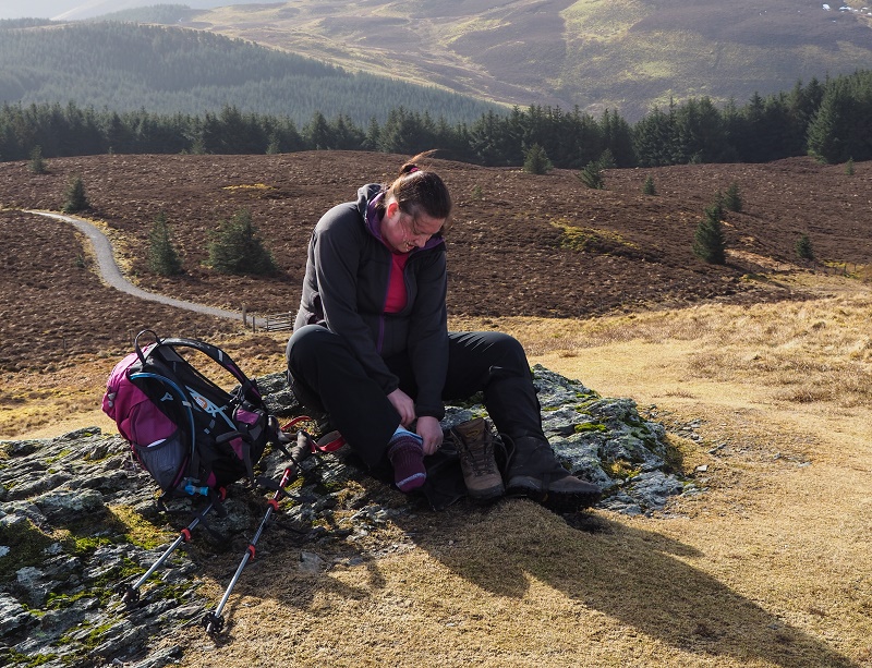 Blisters already?
We all took in the views of Lords Seat, took photos and had a quick drink
before setting off towards the next Wainwright of the day - Broom Fell.
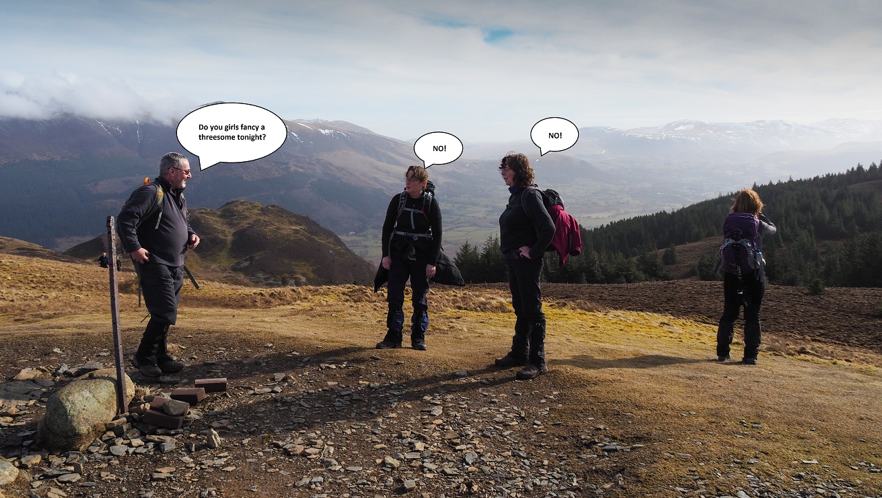
Gordon tries it on with Jane and Ann. His behaviour gets worse by the year.
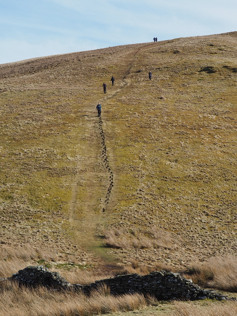
It wasn't long before Broom Fell was added to our conquered list. The
march over the grassy ridge was easy and rather pleasant and this gave me
the chance to assess the route between Graystones and Whinlatter which we
would have to complete later in the day. There were numerous forest roads on
both fells but there was nothing to suggest that there was any easy route to
be had.
Then, on the summit of Broom Fell, it all changed. I started chatting to an
elderly man who had reached the summit along with his dog. He mentioned that
he was going to walk over Whinlatter because some years back, he'd helped
build the cairns on both Broom Fell and Whinlatter. I asked him how he
planned to link the two hills.
He told me about an indistinct forest track that leaves the ridge from Widow
Hause between Broom Fell and Graystones. This reached the forest road in the
valley. We would then have to walk up the valley until we came across a
small cairn located at the side of the forest. This marked the point where
another indistinct path leads steeply uphill to eventually reach the open
fell thus removing the need to add the extra mile and 400ft of climbing that
my original plan had added. Well done that man!
We walked from Broom Fell to Graystones whilst looking for the forest path
that the old guy had described. We saw nothing.
 The short but steep descent from Broom Fell that led to a short but
steep ascent to Graystones.
The short but steep descent from Broom Fell that led to a short but
steep ascent to Graystones.
We decided to take lunch on the summit of Graystones as the lovely grassy
top and great views over the Vale of Lorton were too good to waste.
The stop provided a chance to work out our plan of attack for Whinlatter.
We'd not come across a path of any description whilst walking across Widow
Hause and didn't want to attempt a blind descent into what looked like a
maze of forest tracks and the potential hazards that this terrain can bring.
Then, it all changed.
A fell runner stopped to chat to us on the summit. He too was heading for
Whinlatter and he too was looking at dropping steeply off Graystones towards
the pass. He would then look for suitable routes to ascend Whinlatter on
reaching the valley floor. I told him about the route the old man had
mentioned along with the fact that we'd seen nothing that looked like the
said path on our travels. The fell runner then informed us that he'd seen
an old man and his dog leave the Widow Hause ridge shortly after descending
into the second col that separated Broom Fell and Graystones, He then
pointed to four sheep on the distant fell side which marked the point at
which the old man had descended. Hhhmmm - this might be a goer after all.
We said our goodbyes and decided to risk the 'route of the old man'.
We retraced our steps and on reaching the point where the four sheep were
located we came across a makeshift stile that led over the wire fence. The
stile of two large flat stones and a branch but the real key was the
faint traces of a path leading into the felled forest area.
Our initial foray into the wilderness raised a few unsure moments as the
path forked into two or disappeared at what seemed like a critical point. We
took the route that descended to the right and were soon enjoying a rather
splendid walk through the young pine forest. Hopefully we'd take the correct
route and eventually reach the road in the valley.
The small track eventually turned onto a forest road and after a couple of
major bends we reached a bridge that straddled the beck. So far, the old man
was spot on.
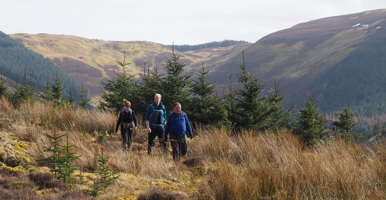
Alison, Jon and Dave plough on through the 'Route of the Old Man'.
We reached the forest road and now checked the maps to see where the old man
had told us to go next. He'd told me that on reaching the forest road we had
to turn left and east to climb the road until we come across the fabled
cairn. We walked along the forest road and then came across a junction where
one road descended, another road ascended with the remaining road continuing
under Whinlatter's northern slopes - this is the route we decided to take
but with some apprehension as if we didn't come across a cairn we'd be
knackered and would probably have to retrace our steps and continue to the
pass.
Al and I marched ahead to see if we could find the cairn and then, suddenly
on our right, there it was. A very faint track appeared to head into
the forest so I sent Al into the murk to confirm if all looked OK - it was!
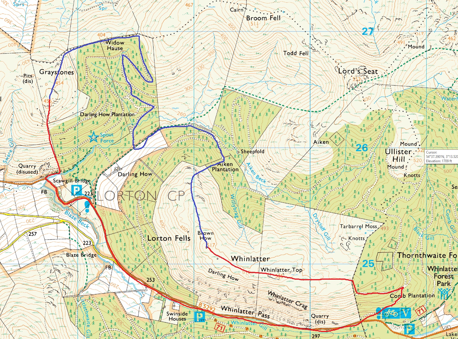 The route in blue shows how we managed to link Graystones and Whinlatter
without having to take the longer route marked in red.
The route in blue shows how we managed to link Graystones and Whinlatter
without having to take the longer route marked in red.
The route through the forest was steep but not too uncomfortable but it
certainly got the old heart pumping. After a couple of hundred feet we
left the forest for the open fell but a small fence had to be traversed
before we could 'power' on to the summit.
 Jane and Ann leave the confines of the forest after the initial steep
climb.
Jane and Ann leave the confines of the forest after the initial steep
climb.
We waited for the slackers at the fence and then set off for what appeared,
by looking at the map, to be an easy stroll to the summit. The climb seemed
longer than expected and before long we were spread out all over the fell.
Al and I reached the summit first with the others appearing in dribs and
drabs but Sarah was struggling and reached the summit shortly before the
rest of us perished with frostbite.
Sarah had stretched her left achilles so it'd be a slow march back for her.
Wainwright had insisted that the western top of Whinlatter is the highest
point but the OS maintains that the eastern top holds the crown so we made
sure that the latter was bagged before dropping steeply towards the road
where we would take a route back using the forest roads.
It had been a great day with all planned hills conquered and, thanks to the
route provided by the old man, made significantly easier. If we'd have to
had taken the red (original) route as shown on the map above I'd wager that
a good number of us would have told Whinlatter where to go as the additional
mileage and climbing would have incurred much additional effort.
So, three new Wainwrights for me. How many more could I bag in the week?
MONDAY - Keswick to Lodore Hotel via the shores of Derwentwater.
A wettish forecast so an easy 4 miler to Lodore. No hills today. No
Jon or Sarah today.
TUESDAY - Barrow and Outerside from Braithwaite - 8.5
miles\2200ft ascent.
Sarah was still struggling and Jon had already walked these hills so the
remaining six of us drove to Braithwaite, with Jon's help, to take on the
two smaller central hills within the Coledale Round. I'd already walked over
Outerside but had never done Barrow so it'd be a single new Wainwright for
me and two new ones for the rest.
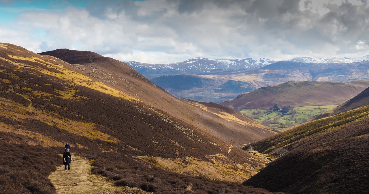
It was a beautiful day, the best of the week, so the mile+ yomp to
Stonycroft and the start of the mine road was enjoyed by all. The mine road
rises gradually into the centre of the Coledale hills and provides an easy
way of gaining height. First to be conquered was Barrow.
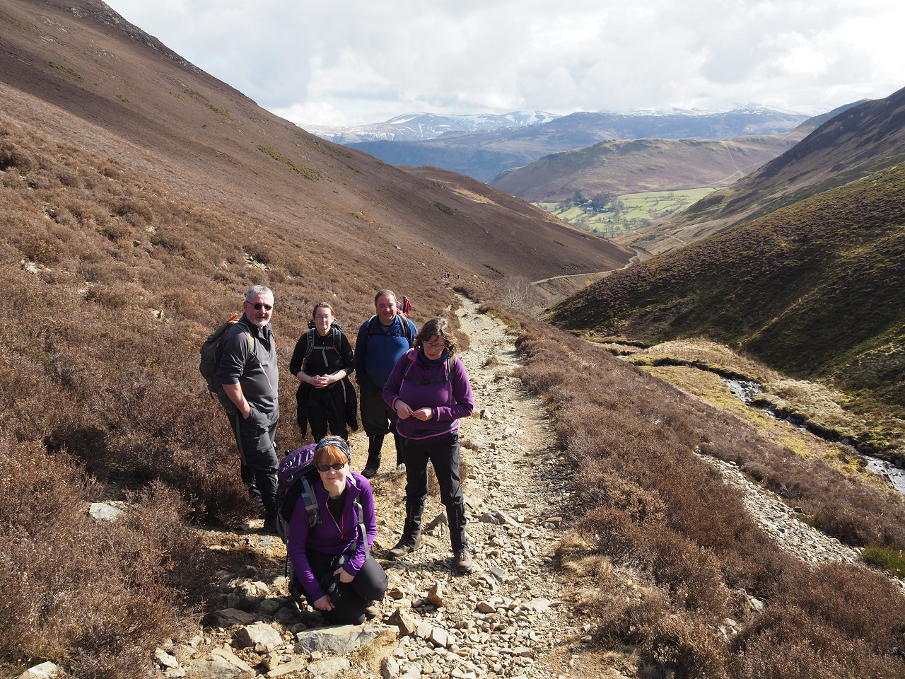 Team shot on the way up to Barrow via the mine track. All very nice.
On reaching the first col we turned sharp right to ascend Barrow on a lovely
path which provided views all over the central Lakes over to the Helvellyn
range. Everyone was in good form.
 Jane and Dave shortly before branching off to Barrow, the hill centre
left.
Jane and Dave shortly before branching off to Barrow, the hill centre
left.
The temperature lowered and the wind increased slightly on the summit of
Barrow but the great views more than made up for it. We didn't want to spend
too long on the summit though as we had to retrace our steps to summit on
Stile End before moving onto Outerside, the highest and final peak of the
day.
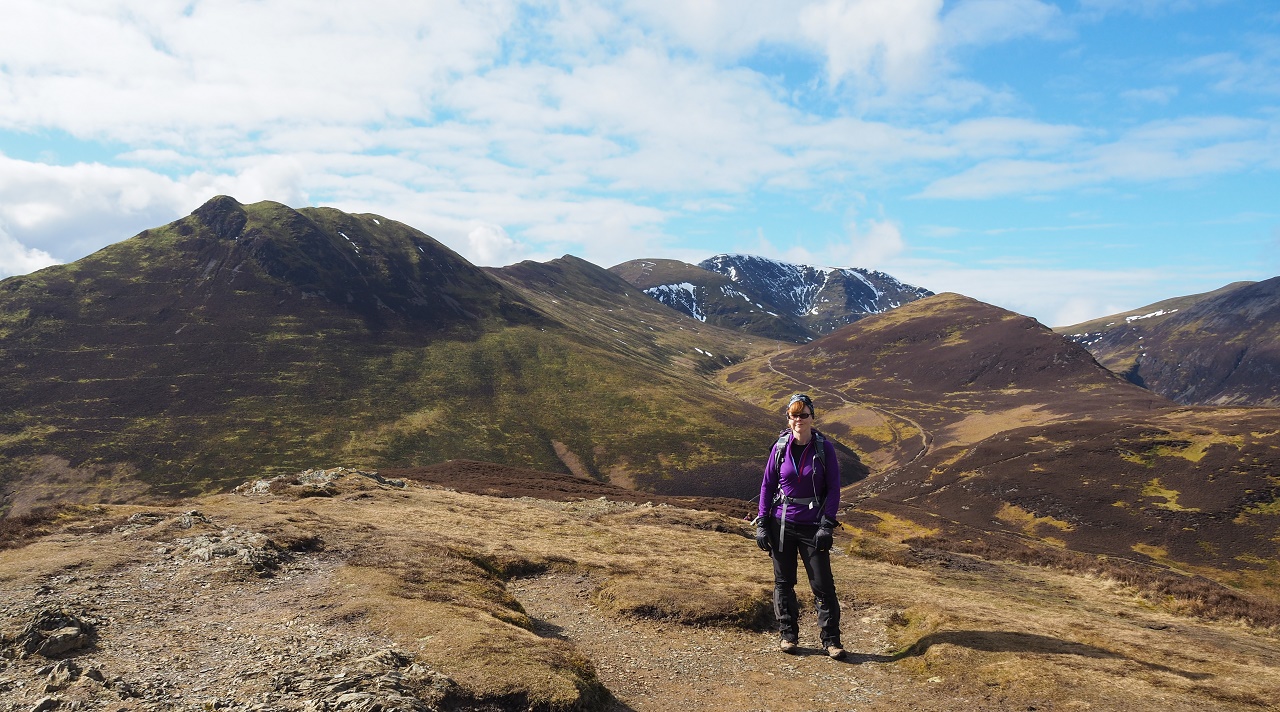 Alison poses on the summit of Barrow with Causey Pike, Scar Crags, Sail,
Crag Hill\Eel Crag and Outerside providing a rather stunning backdrop.
Alison poses on the summit of Barrow with Causey Pike, Scar Crags, Sail,
Crag Hill\Eel Crag and Outerside providing a rather stunning backdrop.
The clouds were thickening as we traversed the tiny Stile End and before too
long we were climbing through the narrow heathery path that linked Stile End
to Outerside. A minor scramblette on rocks provided an enjoyable moment for
some but a few minor issues for others.
The gradient soon eased but the final drag up to the summit proved longer
than expected. It was definitely colder on the summit so a few of us decided
to add an extra layer - just in case. Some of the team are now in their
sixties so they have to be really careful.
 A visibly shattered Ann finally reaches the summit of Outerside. We were
freezing to death at this point but still had to wait for Jane and Dave.
Barrow is the hill just to the right of Alison.
A visibly shattered Ann finally reaches the summit of Outerside. We were
freezing to death at this point but still had to wait for Jane and Dave.
Barrow is the hill just to the right of Alison.
We decided to take lunch by a stream as we were now out of the wind. A bit
more downhill and we were on the level on the Coledale mine road. A steady
two mile yomp was all that separate us from Braithwaite where Jon and Sarah
were waiting to help transport part of the team back to Keswick. We resisted
the temptation to drink in Braithwaite but more than made up for it in the Dog and Gun.
It had been an excellent day's walking with great weather and views. More of
the same tomorrow please!
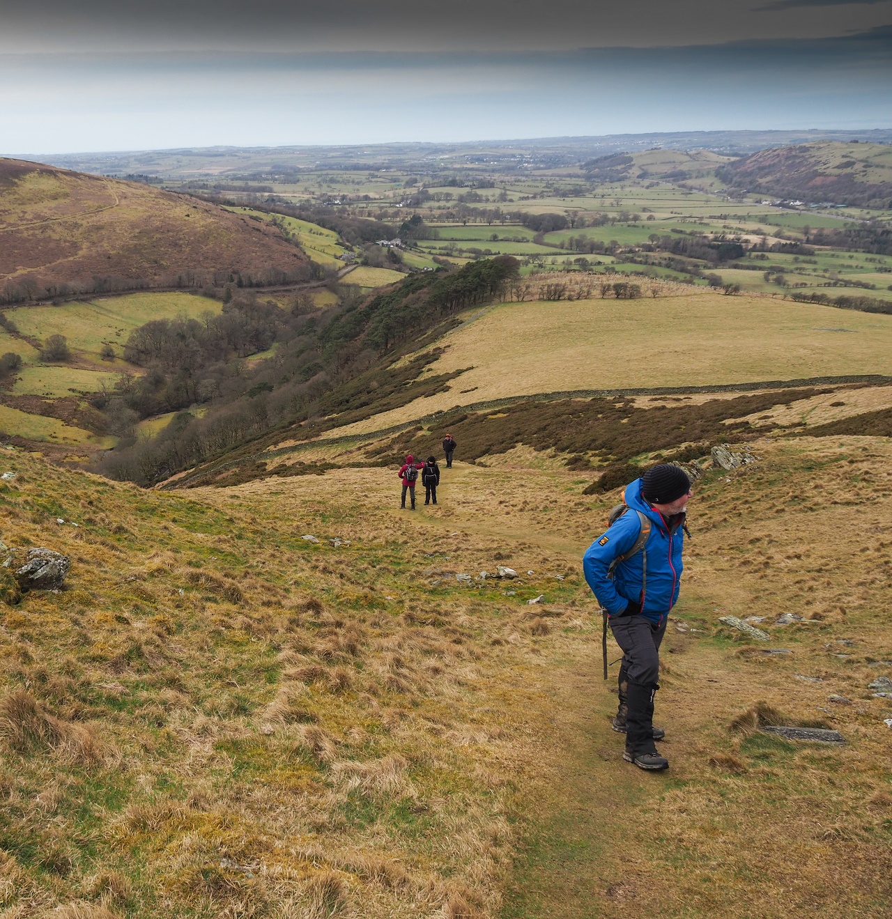
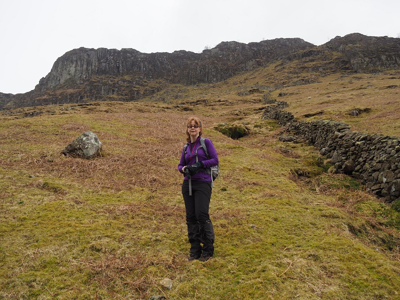
WEDNESDAY - Sale Fell and Ling Fell - 4 miles\1500ft ascent.
Today's 'challenge' was to take on the tiny north-western outliers of Sale
Fell and Ling Fell. We'd seen the pair of them at close quarters from the
heights of Sunday's walk so everyone apart from Sarah, who'd now decided
that no more walking was possible for the week, drove to Brumston Bridge
where we parked up and prepared for the off.
It was noticeably windier then expected but we soon warmed up during the
instantly steep ascent of the south-western slopes of Sale Fell. This was a
real warmer-upper.
 Gordon has a breather after the initial steep ascent of Sale Fell.
Things were about to get windy.
Gordon has a breather after the initial steep ascent of Sale Fell.
Things were about to get windy.
After about 500ft the gradient eased but the steepness was replaced by wind
- a very strong wind. A group of school kids were in front of us and many of
them had decided to sit on the grass in order to protect themselves from the
45+ mph gusts. At one point the wind blew Alison's glasses straight off her
face so Jon the hero raced off to pick them up. Well done Jon!
Jon continued to show signs of heroism by helping the hapless Ann fight the
wind. Jane, despite being many a stone lighter than Ann, managed to reach
the summit but Ann decided that it was all too rough so sat on the windblown
turf whilst the rest of us battled on.
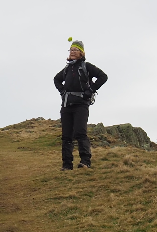 Alison's bobble acts as a wind monitor.
After surviving the summit wind we retraced our steps and headed back down to Brumston Bridge in readiness to cross over the road and take on Ling Fell.
The descent was as steep as the ascent and the wind at ground level appeared
to be stronger than that when we set off. Dave and Ann decided to abort at
this point and walked to the Pheasant Inn where we would join them later.
The initial walk up the Corpse Road on Ling Fell was relatively
straightforward but on 'turning the bend' we found ourselves walking uphill
against the wind which made the simple ascent harder than we imagined.
We eventually reached the open summit and posed for a few photographs. It
wasn't a place to linger.
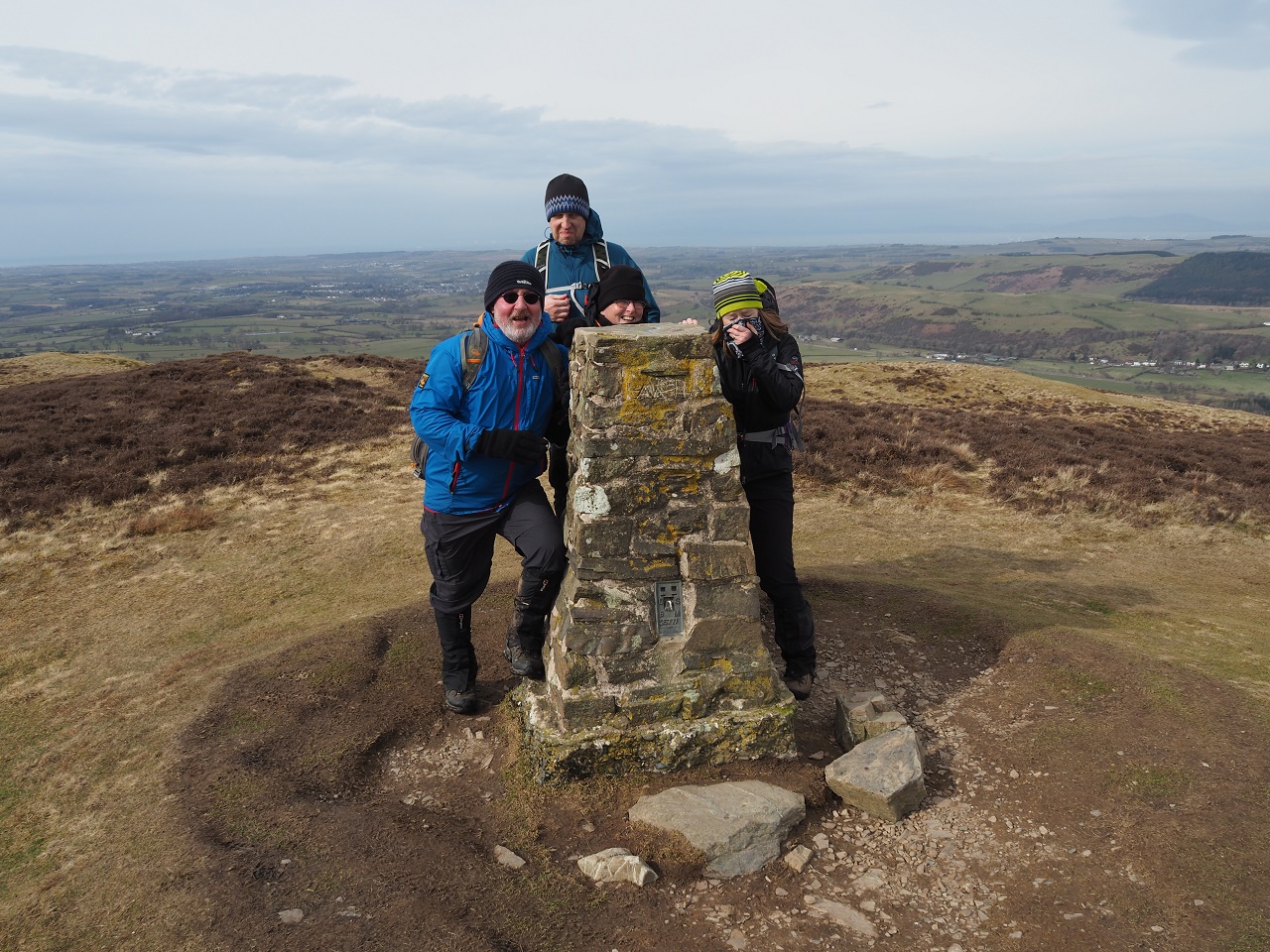 Ling Fell summit. The team protect themselves from the increasingly
powerful wind.
Ling Fell summit. The team protect themselves from the increasingly
powerful wind.
The descent, with the winds at our backs, was far easier and before long we
were back at the cars. Time for the Pheasant Inn and a pint and sandwich.
These two hills were expected to be amongst the easiest of the Wainwrights
but the powerful wind made it a rather more interesting experience. Still,
another two hills were in the bag.
THURSDAY - It pissed it down so we all took a day off.
FRIDAY - Great Crag from Keswick - 8.5 miles\1800ft.
Great Crag is one of those strange Wainwrights that doesn't look like much
of a hill from any angle. We'd already on the similarly strange Grange Fell
a few years back so a rather dour forecast gave us the chance to get one
final walk in and get Great Crag out of the way.
Only me, Alison and Jon were on for walking today so we set off from the
house at a fine pace. The forecast was for rain later in the day but we were
also wary of the wind and the seemingly lower temperature.
After walking on the eastern side of Derwentwater we headed up the road to Ashness
Bridge and towards Watendlath. We decided to miss out on the footpath as our
experiences from December were that of awkward rocks and potential anklery so
we stuck to the road and hit 3mph!
The clouds to the east became darker so Alison and I decided to don our
waterproof leggings - just in case.
After leaving Watendlath we took the path that heads for Stonethwaite and
soon hit wetter ground. The worst of the wetness however was tempered by the
clever use of strategically placed rocks and stepping stones so there was no
need to panic about a boggy death.
 Jon and Alison on the summit of Great Crag.
The path by the side of Dock Tarn was a rocky affair which did its best to
slow us down but we weren't prepared for what we were about to come across.
The path that descended into the valley was steep - very steep. This usually
isn't a problem but the path had been 'upgraded' so that every step required
careful foot placement on rather small rocky steps. The steepness of the
slope meant that there was no option but to use the path. We had to be
careful.
After what seemed an age we eventually reached the valley floor and enjoyed
the relief of walking on a flattish surface. The flat surface magically led
us to the pub where we joined the others (minus Gordon and Jane) for a few
pints and food.
The week was over. Eight new Wainwrights for some and numerous new ones for
the rest of us.
Will I be able to complete the Wainwrights before next years visit?
Keswick again! - April 2018.
Al and I travelled up to Keswick to join my brothers and their families for
Lindsey's 40th birthday do. Al and I decided to take on Eagle Crag, Sergeant
Crag and the central fell of Ullscarf in a attempt to add more hills to our
Wainwright count.
We set off from the National Trusr car park in Rosthwaite under grey but
bright skies but it was warm - probably the warmest day of the year so far.
I wasn't feeling particularly great as my stomach wasn't right so I was in
no hurry. It'd been 30 years since I'd climbed Eagle Crag so I'd resorted to
using web articles to remind me of the scrambly route to its summit. I'd
remembered that the steep climb up began shortly after crossing the second
wall on the northern slope but I incorrectly walked too far and ascended
after the third wall. The error became apparent as we hit impenetrable
cliffs and, looking back, couldn't see any signs of a worn path which pretty
much every Wainwright hill now has due to the increasing number of walkers.
 Ascending by the wrong wall on no path to cliffs. Doh!
On reaching the point where we could go no higher, unless we were climbers,
I looked to the west and realised that we'd gone wrong and told Al to stop
climbing whilst I traversed the steep slopes towards the west to look for a
path. The remains of a dead sheep were a reminder of the fact that steep
cliffs were above us.
On reaching the 'other' wall we came across a worn path which eventually
reached the stile that marks the start of the scramble route. The stile is a
bit high for midgets like Al but she managed to get over it before heading
towards the crux of the ascent - a steep rocky gully that leads onto the
first of many heathery platforms. The ground was soaking so water was
dripping off the rocks but despite the wetness the rock was reasonably
grippy so we both ascended without incident.
It then started to rain enough to warrant the wearing of waterproofs. Crap!
The ascent up and over the heathery rocky terraces was enjoyable and before
long we were on the top of Eagle Crag.
The rain was getting increasingly heavier so we set off to add Sergeant Crag
to the day's hills. The going was easy but very wet and it wasn't long
before Sergeant Crag was summited. We looked south towards the barren slopes
that lead up to High White Stones\High Raise which we'd follow for a while
before turning left under Long Crag to reach Greenup Edge.
There were signs of a path for a while but I decided to simply head in the
right direction and use Long Crag as a guide. If the weather worsened and
the mist\cloud dropped lower the walk to Greenup Edge would require very
careful route finding as the terrain was pathless and featureless. It was
hard going.
We traversed the steep slopes below Long Crag and climbed towards Greenup
Edge where a lone Danish woman was getting her bearings by a large cairn. Al
and I chatted to here for a while before setting off into the gloom and
heading north towards the highest summit of the day - Ullscarf. It's fair to
say that the mile+ climb to Ullscarf was a wet and boggy affair with only
the occasional view of hills to keep us occupied. After much squelching we
reached the summit cairn where we decided to eat our sandwiches.
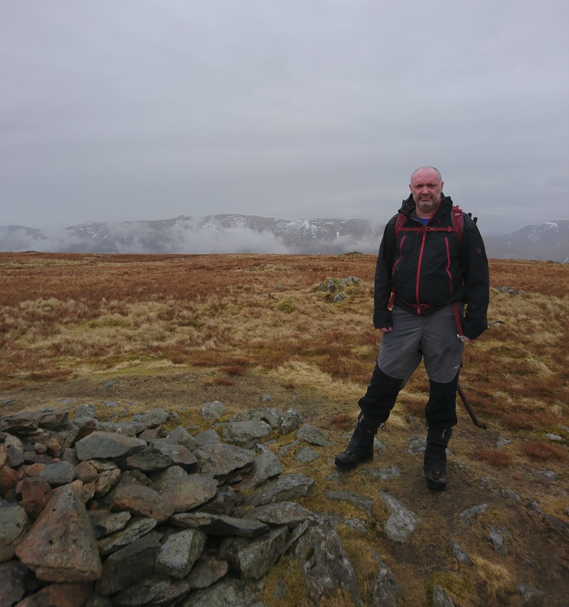 Our hero on a damp Ullscarf summit.
Whilst chomping away a lone figure came towards us from the south. It was an
Australian women who was walking the Coast to Coast and on reaching us asked
we where - not a good sign. On informing her that she was on Ullscarf and
proving this on the map she told me that her sister was just behind and that
she'd go mad. I repeated the same info to her sister and told them that
they'd gone too far north when taking a compass bearing on Greenup Edge. My
recommendation was that they should retrace their steps and decend into
Wythburn, the correct route, but they decided they'd continue north and
descend towards Thirlmere. We said our goodbyes and watched them head north
and hopefully a safe descent.
Al and I retraced our steps in increasing gloom to Greenup Edge and then
veered right to descend towards Stonethwaite via Greenup Gill. The path down
Greenup Gill, which passes Lining Crag, was rocky, steep and wet and
required careful foot placement to avoid a fall. Great!
On reaching the valley floor we were able to see where we'd gone wrong
earlier in the day so see below the correct route (green) and the incorrect
route (red) that we took:
.JPG) Note that we'd followed the path just above the wall where the correct
path is slightly above.
Note that we'd followed the path just above the wall where the correct
path is slightly above.
.JPG) Note that we'd then walked too far and ascended by the wrong wall. The
correct route is easily found if you take the correct initial path.
Note that we'd then walked too far and ascended by the wrong wall. The
correct route is easily found if you take the correct initial path.
The rain became heavier as we headed back to Rosthwaite so after taking off
our now soaking clothes we drove back to Keswick to enjoy a meal with Ratboy,
Lindsey, Rob, Lisa, Grace, Harry and Isla.
It'd been quite a tough walk with wet ground, rocks, scrambling, bogs and
bad guts but we'd added a few more Wainwrights to the count so mission
accomplished!
