Claire White, Jim Eason, Dave Swarbrook, Ken Hodgkinson, Jon Gilson,
Sarah Gilson, Sarah Goodison, Mark Jones, Sean Bond, Alison Bond
DAY 1 -
Bowness to Ambleside (10 miles\2020ft ascent)
We're back! At last! It's been over three years since the
Jersey 2019 walk thanks to Covid and a change of plan during 2021 where
we decided to abort the long distance routine for a week in Grasmere. So
much has happened.
I'd been struggling to come up with an option for this year's walk as
the aim, as usual, is to cater for potentially 15-18 walkers and
hopefully find a walk that
we'd not done before. Just as I was about to give up and look at a
similar option to last year's Grasmere stay Sarah Gls reminded me of the
Windermere Way which is a route I'd looked at a few years back but
dismissed it as too short for our 'main' walk and too long for a weekend
walk.
At only 47 miles in length it matches the Jersey coastline walk and
allows for a single stay so after looking at the transport and
accommodation options it was decided that it'd be a goer for this year's
return.
The personnel list took a battering: Mike, Ann, Nick, Jason and Janine
all originally planned to go but pulled out for various reasons. Jason
and Janine aborted on the Saturday we travelled up thanks to Janine
testing positive for you know what but Jon reminded us that the week would
be so much better without Jason.
This left ten of us with new recruits Claire White (Jim's wife to be)
and Sarah Goodison (Mark's wife to be) joining us for the first longish
distance adventure along with the other Pighole stalwarts. There'd been
no training of such as we all expected the 47 miles to be a piece of
cake but recent physical traumas for some of the team resulted in an air
of trepidation with one additional negative factor being the weather forecast where
record temperatures were expected across much of the UK for the first
two days of the walk.
The Windermere ferries would allow us to walk the
entire route using Bowness-on-Windermere as the base. The following itinerary
was proposed:
Day 1: Bowness - Ambleside: Walk to Ambleside\Ferry return to Bowness 17:15
(arr 17:45)
Day 2: Ambleside - Ferry House: Ferry to Ambleside 9:50 (arr
10:25)\Ferry return to Bowness (all day)
Day 3: Ferry House - Lakeside: Ferry to Ferry House (all day)\Ferry
return to
Bowness 15:50 (arr 16:30)
Day 4: Lakeside - Bowness: Bowness - Lakeside: Walk to Lakeside\Ferry
return to
Bowness 16:55 (arr 17:35)
The first day of the walk arrived and, as expected, it was very hot.
Today's aim was Ambleside where the route permitted for variations as
the heat could dictate that the ascent of Wansfell Pike would be too much.
We agreed to vote on this as we approached the point of no return.
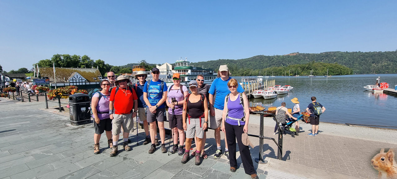
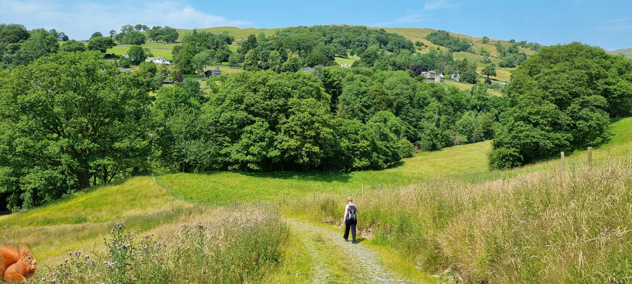
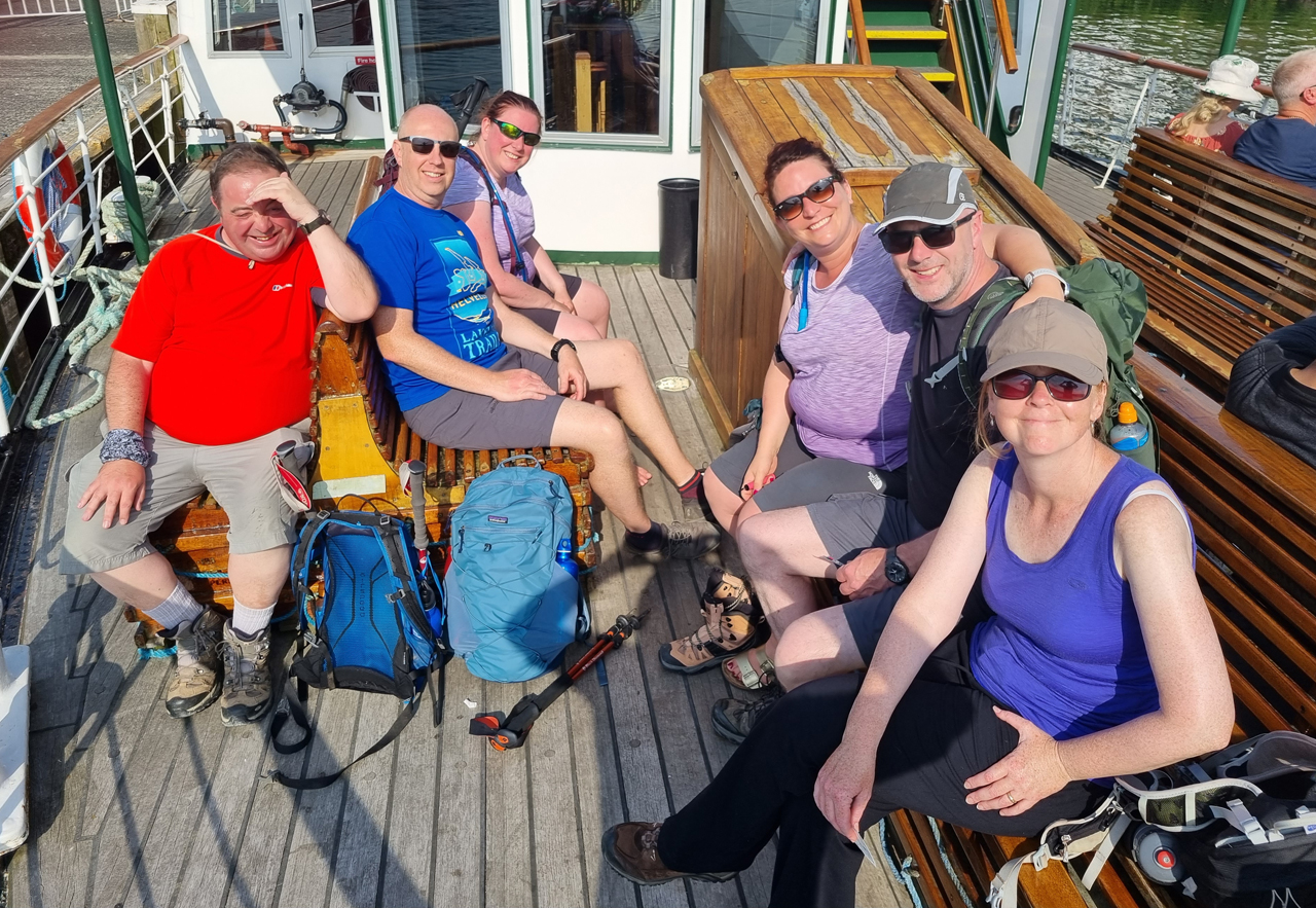
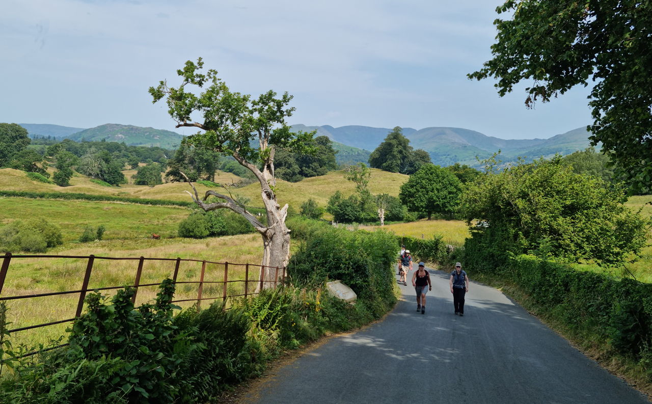
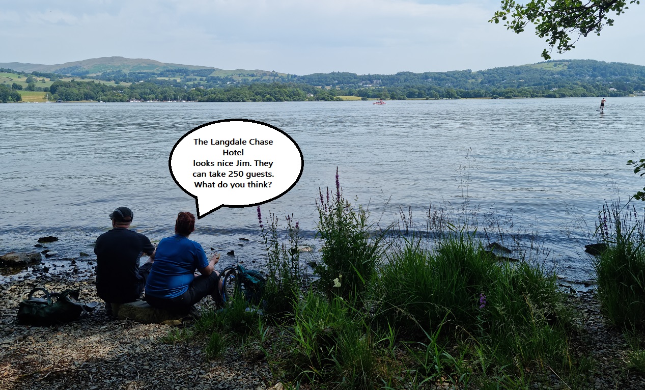
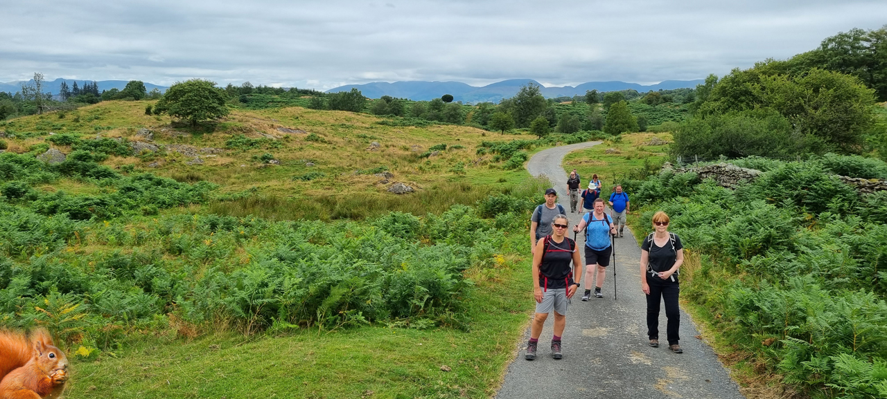
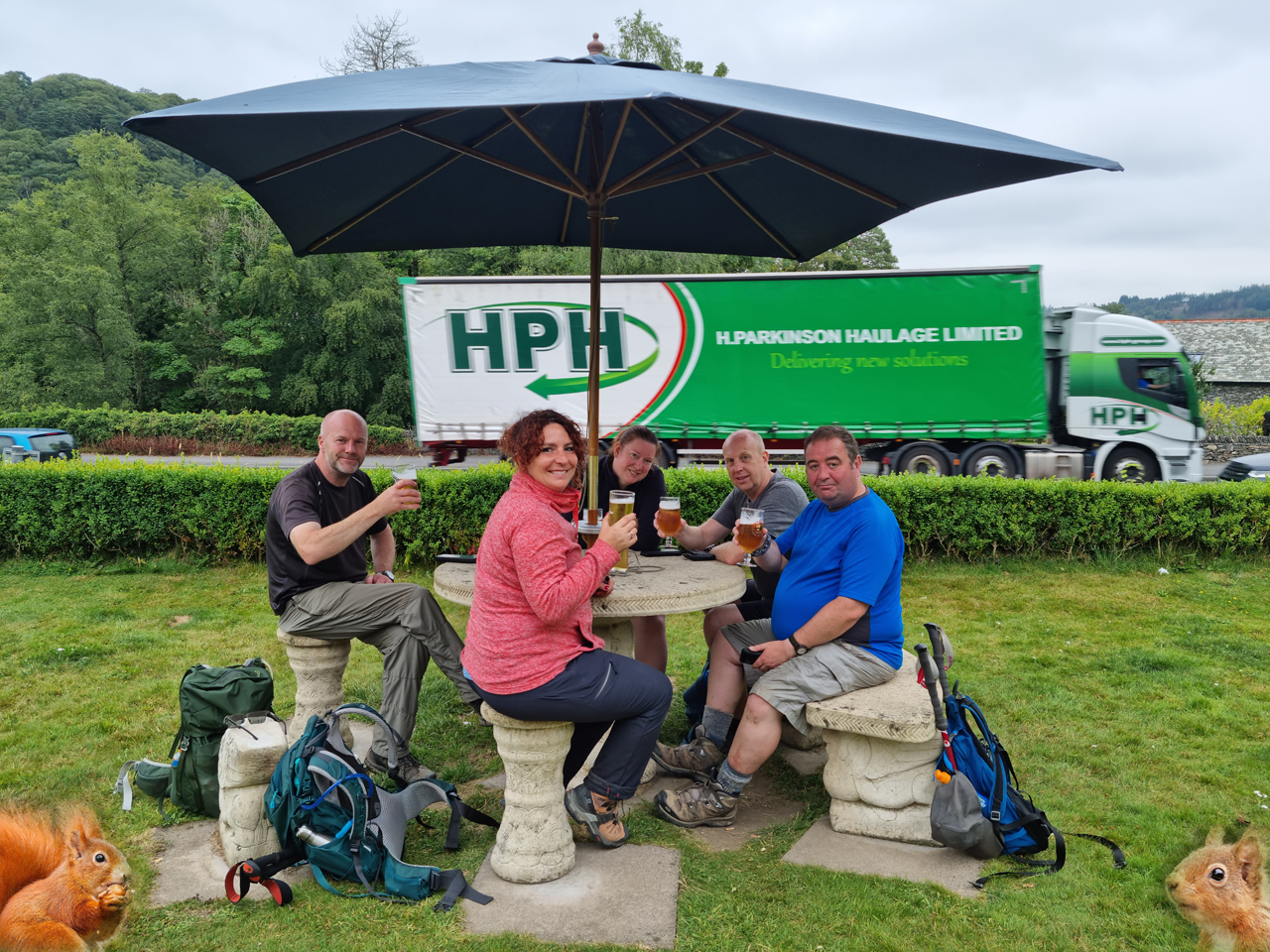
We arranged to meet on the shore of Windermere and, as is now customary,
found a gullible member of the public to take the start of walk group
photo (see above).
The route veered north on the main road before turning off to the left
to join the shoreline of Windermere. It was all very pleasant. After
approximately half a km the route heads east with the aim of ascending
Orrest Head where Alfred Wainwright famously took his first view of the Lakes.
On crossing the main road Jim informed us of his overnight dodgy guts
which required him making a minor detour to a supermarket where a
quick 'visit' was in hand along with the purchase of botty blockers. Jim
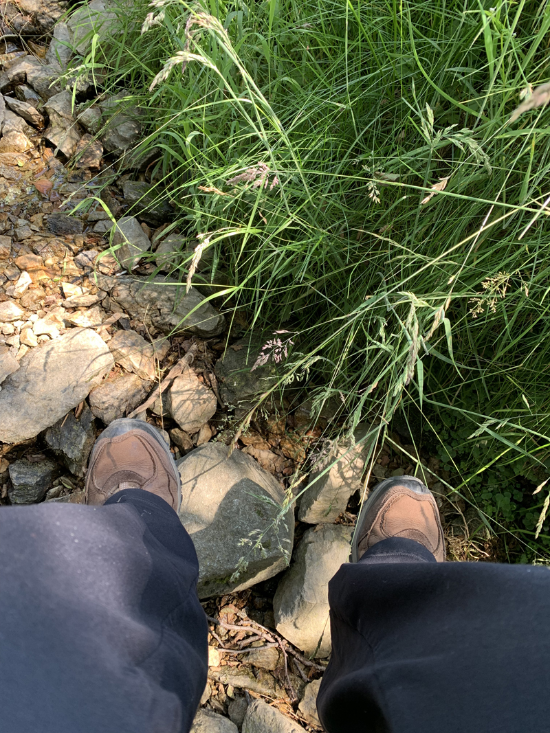
was wearing shorts: This is a rare occurence and generally signals the
arrival of uncomfortable walking temperatures which was definitely the
case for today.
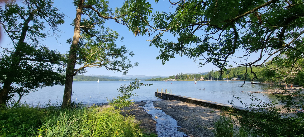
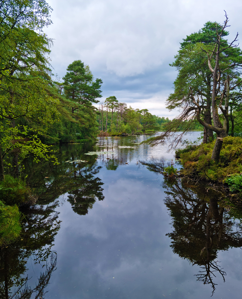
Early morning view over to the Langdale Pikes from the eastern
shoreline of Windermere.
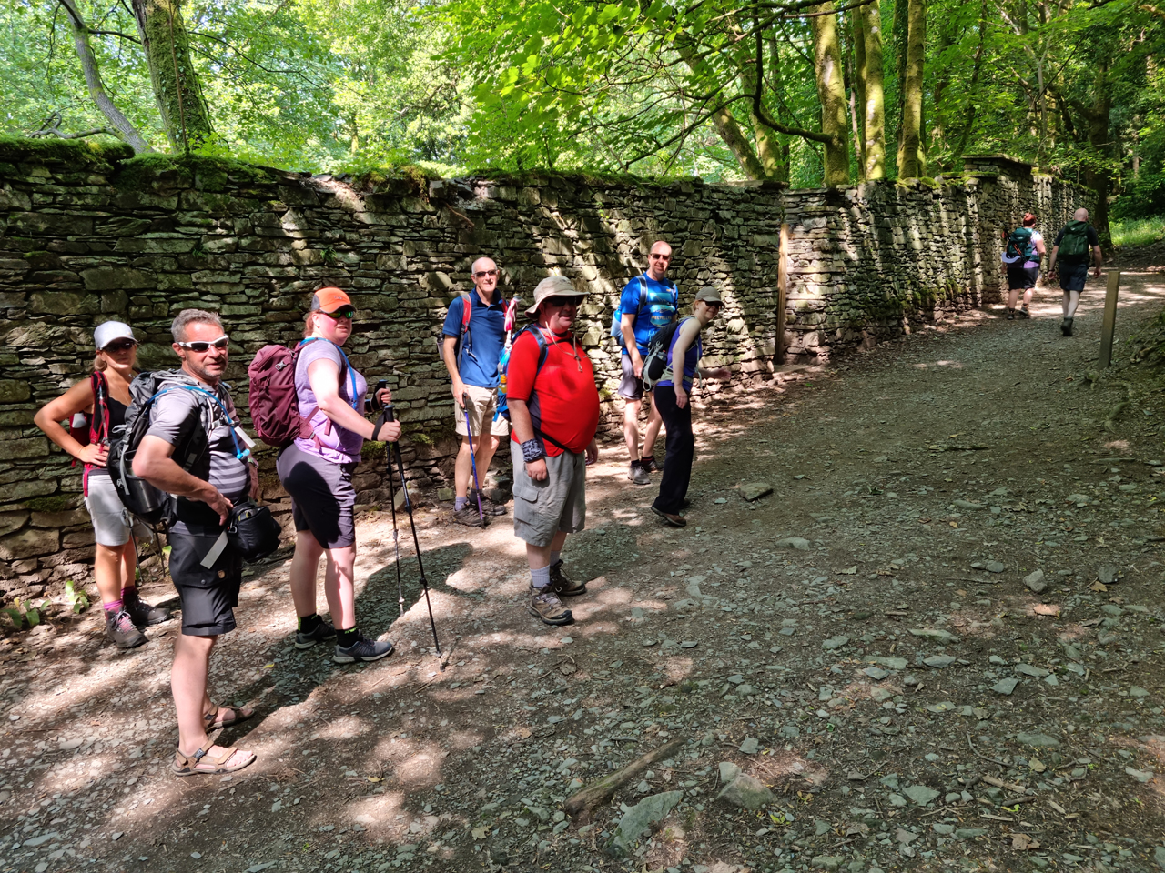
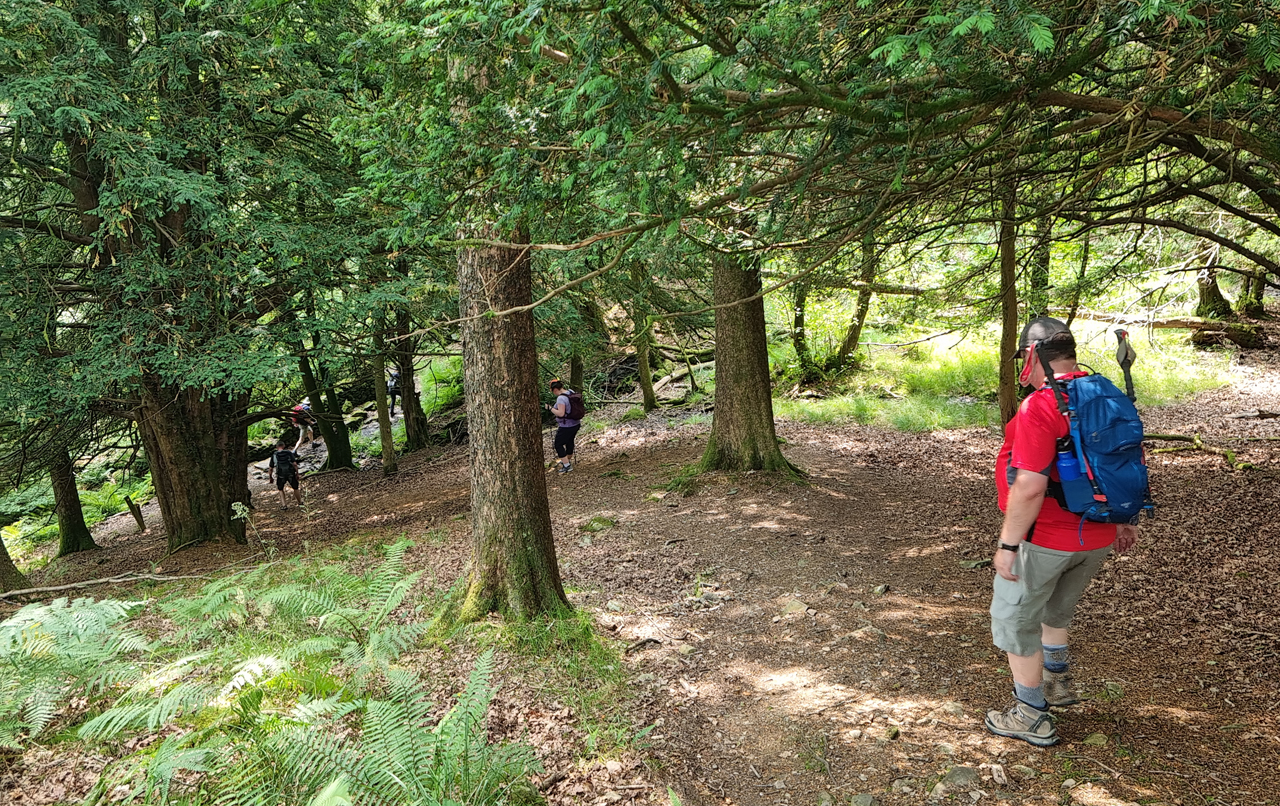
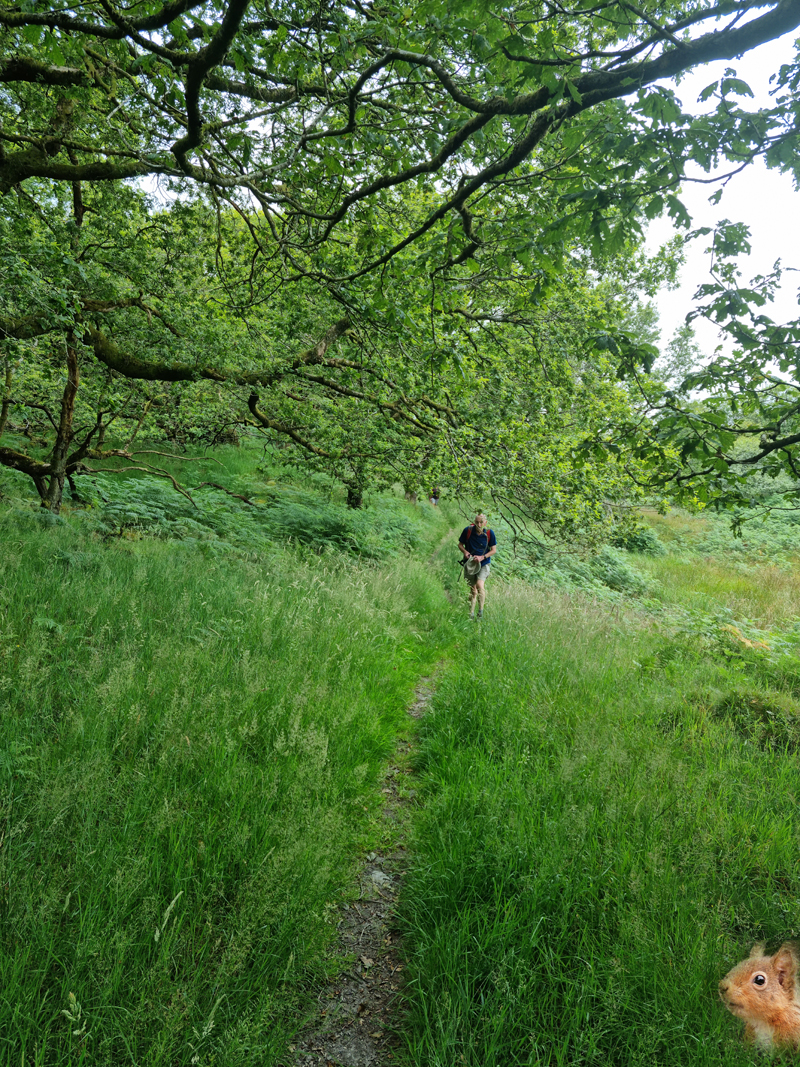
The initial section of the ascent to Orrest Head was an enjoyable tree
covered treat which provided welcome relief from the heat of the sun.
Ready for Orrest Head. The first climb of the walk. Jim can be seen
in shorts - top right.
We reached the summit of Orrest Head in our usual dribs and drabs style.
It was as busy as would be expected for such a stunning day with the
views over the Lake District well worth the easy effort of the summit
climb. We all took numerous photos and rested for a while.
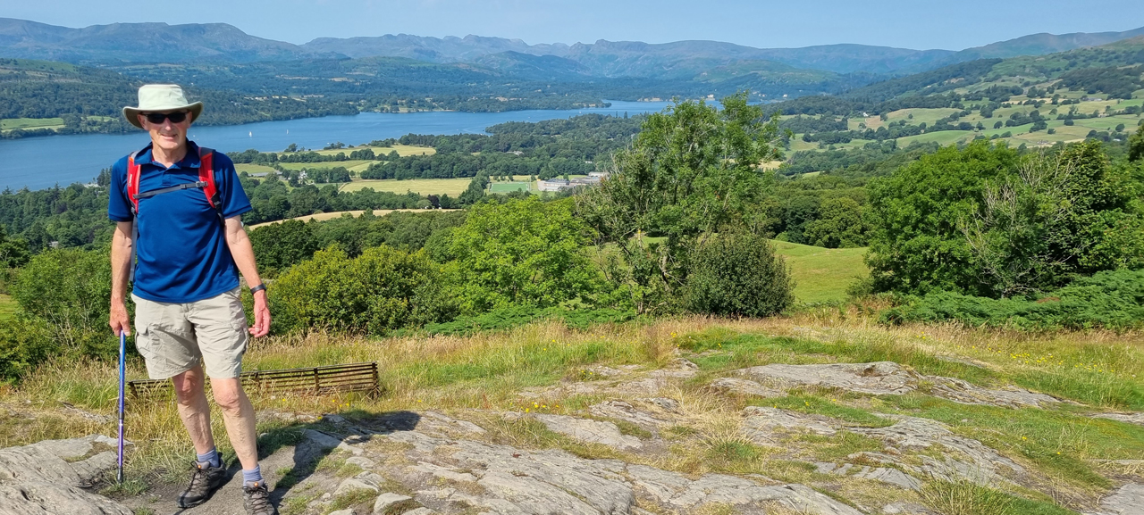
The mighty Ken on the summit of Orrest Head. As views go it doesn't
get much better than this.
The route now entered new territory for the experienced walkers of the
Lakes. After choosing one of the paths that headed off from the summit
of Orrest Head we quickly emerged into farming territory and the route
finding difficulties that this can bring.The way followed gently
undulating ground through fields and around farms with the next notable
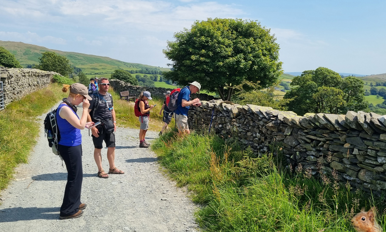
destination being Troutbeck. At Far Orrest the satnavs were consulted to
locate the correct path with one heading in the right direction and one
seemingly heading in the wrong direction. I chose the former but this
turned out to be incorrect,as Jim noted, as it was later discovered that the 'wrong'
path quickly changed direction to become the 'correct' path. The mistake
made little difference as we walked below Allen Knott to reach the road
near Fusethwaite Yeat. The views were excellent.
It was on this stretch that we came across the only other walkers
enroute between the summits of Orrest Head and Wansfell Pike. Even the
village of Troutbeck was devoid of human activity. The heat was taking
its toll.
Alison leads on towards Troutbeck. It's getting rather warm now.
After a short stint on the main road we descended left to Trout Beck itself where a
decision was made to take lunch in the shade next to the stream.
What's better than a 400ft climb after lunch? After negotiating the
trickyness of the route through someone's garden in Troutbeck we
followed road and track to reach Robin Lane where we'd soon be getting
to the decision point of the day: Climb Wansfell Pike or follow the low
level route to Ambleside via Skelghyll Wood?
Approaching the Wansfell Pike decision point. "It's 30 degrees" says
Ken. "I make it 31" says Al. "Bollocks - it's 32" says Sarah Gdn.
We'd all lost more sweat than a blind cobbler's thumb and some of us we
running short on liquids with Sarah in particular having a thimble's
worth left to suck on. Decision time!
Alison, Ken, Jim, Claire and I decided to tackle the mightly Wansfell
Pike. Sarah Gls decided to take the low route whilst making one of those
faces that forced Jon to do the same. Sarah Gdn was on for Wansfell Pike
but Mark decided otherwise. Swarbs had made his decision on the toilet
before breakfast so it was a 5\5 split. We said our farewells and
marched off in our direction of choice.
Shortly after starting the ascent of the pike Claire decided that enough
was enough and turned around to take the low route. Apparently she was
so warm she was beginning to hallucinate and had reported seeing Jim
wearing shorts, We explained that this was indeed the case but she
decided to save herself from unnecessary sweating and try to catch the
others on the way down to Ambleside.
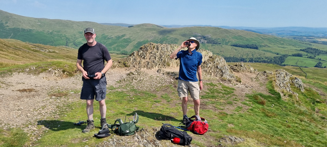
We were down to four on the ascent route which included the oldest man in the team and
the oldest woman.
The final steep and sweaty section of the ascent was completed with
relative ease and the Famous Four were soon on the summit of Wansfell
Pike with the expected superb views beneath our feet. There would be no better place on
the entire walk on which to enjoy the marvel that is Jim's drone as this
summit would be the highest point of the week's walk. We could all hear
the Thunderbird's theme tune in our heads as Jim put the drone together
and began the preliminary startup procedures that are essential for the
safe and efficient operation of such a complex piece of aerial
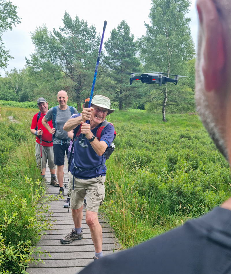
equipment.
It all went a bit flat when
Jim blamed an Android update for the failure to launch HMS Baldy which
was a shame as the resulting images and videos would have been superb
from such a magnificent vantage point. Jim spent sometime trying to
remedy the situation which gave the others the chance to enjoy the
sweeping views and chat to other summiteers.
It's a no-goer on the drone front as Ken enjoys a drink on the
summit of Wansfell Pike.
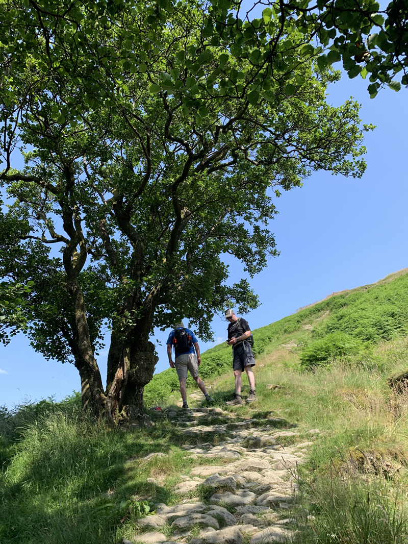
The descent off the pike towards Ambleside is quite steep so after
informing Ken of this fact we set off to join the others in whatever bar
they'd decided to empty.
Me and Jim waiting for Ken in the shade of a tree. Ken had been told
to kencentrate on the descent after experiencing a long line of descent
fails over the years.
Meanwhile Alison dips her feet into the cool running beck.
The descent was completed without incident and after receiving a
message that the others were in the Lily Bar we marched through town to
meet them and partake in much needed cooling beers.
Day 1 was completed despite the heat but the next day was forecast to be
warmer still. All that remained was the ferry back to Bowness where a
warm night of food, wine and ale would ensue.
On the ferry back to Bowness.
DAY 2 -
Ambleside to Ferry Point (7.5 miles\600ft ascent)
Today's walk should have been 11.5 miles\2300ft of ascent but as record
temperatures had been forecast (possibly 31 degrees) it was decided that
we'd miss out the ascent of Loughrigg and take a call on whether to
ascent Claife Heights later on in the day. I think we all knew what the
outcome of that decision would be.
It was as warm as expected. Some of us had slept OK, some of us hadn't.
It was going to be a tough one despite the shorter distance.
The first task of the day was to purchase ferry tickets and return to
Ambleside where we'd finished the previous day's walk. We set off
towards Clappersgate for half a mile before turning
left onto the Hawkshead road.
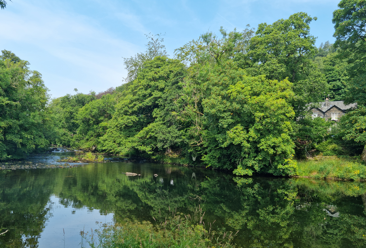
Crossing the River Brathay shortly after leaving Clappersgate.
The route followed the road for about a mile before running to the left
near Pull Woods where more road would be followed towards Wray Castle.
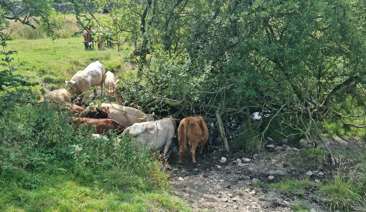
Cows and bull fighting for water near Bletham Tarn.
Ascending the road before leaving for the shoreline of Windermere.
We enjoyed a shady 10 minute stop before at the small church that led
the way towards the shoreline of Windermere. The hope was that walking
next to the lake would at the very least introduce a psychological
element of coolness to what was turning out to be a rather warm day.
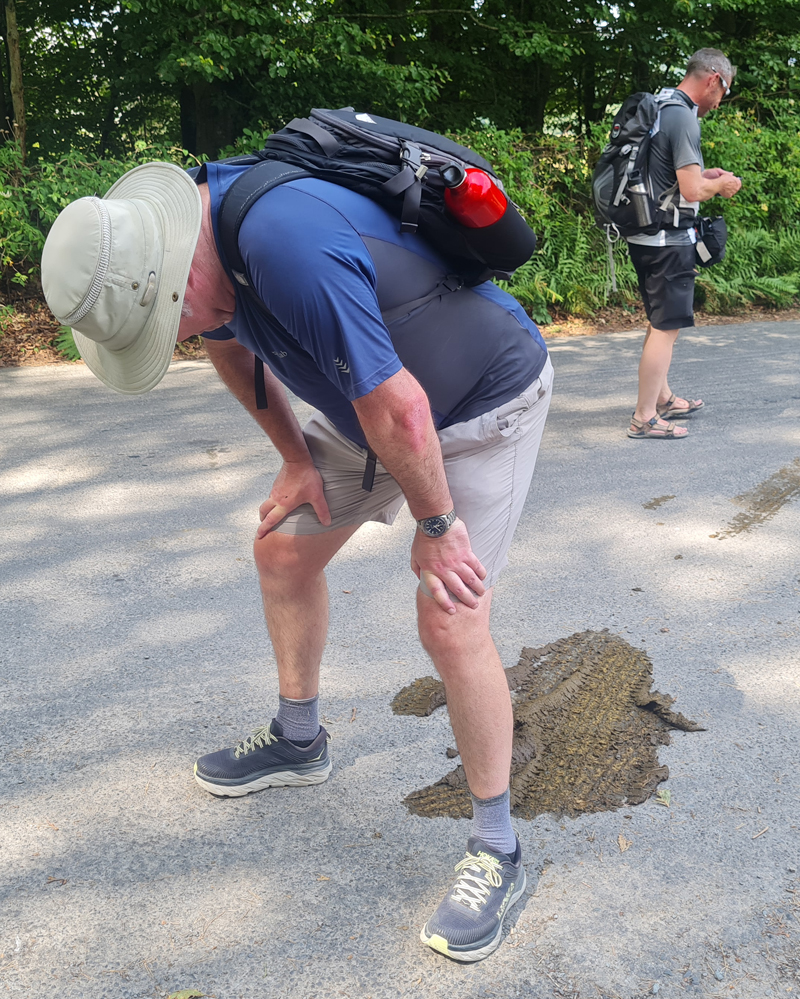
Mark walks away in disgust as the heat takes its toll on my bowels.
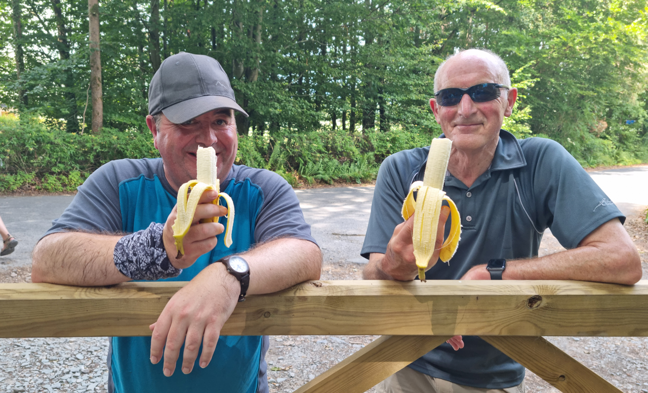
Swarbs and Ken enjoy a banana break.
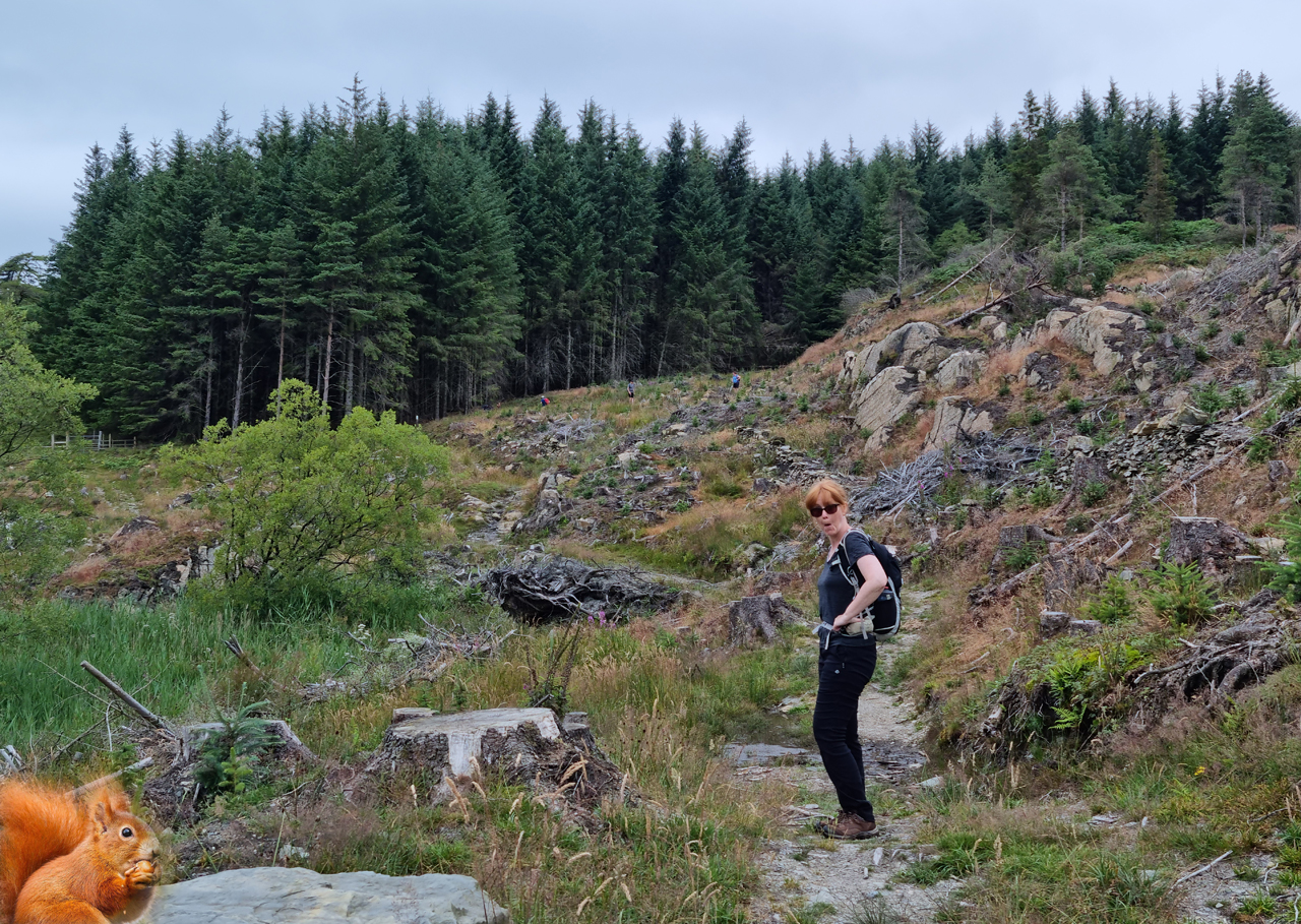
Before long we were at the side of the lake and, to be fair, it did seem
slightly cooler. We missed the path that led up to Claife Heights (fancy
that) to stay by the lake and before long came across a suitable spot
for lunch. This side of the lake was far busier than previous stretches
of the walk: we were now in full-on tourist country.
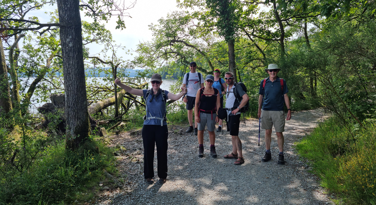
Good times on the western shore of Windermere.
Claire hits Jim with it. Big Style!
As the walk progressed south the weather got warmer and the lake got
busier. The odd minor climb on forest roads helped to keep the sweat
pumping to previously unheard of levels but there was some shelter to be
had beneath the huge pine trees that guided us towards our destination.
Team shot minus me in the pines of Windermere. Ken's decision to
replace his blood with antifreeze in 1976 had certainly helped with the
sweating. Jim's attempt to kill Claire failed with only a few feet more
to go.
The final mile through the camp sites and caravan parks on a dry dusty
road wasn't the best but we soon reached a shop that sold ice cream (and
lemonade) and a low door which provided me with the opportunity to crack my
sweaty head - hooray!
The ferry crossing was just around the corner.
The short ferry crossing took us over to Ferry Nab where a short
kilometre led us back into Bowness and the large lakeside bar
where pintage was enjoyed. We'd survived the hottest of the days that
were forecast for the week but we had lessened the walk by over 4 miles
and 2000ft of climbing. None of us were overly concerned about this
change of plan - in fact, it'd been welcomed with open arms.
Next day - Back over to Ferry Point to complete the rest of the western
side of the lake with the promise of cooler conditions.
DAY 3 -
Ferry Point to Lakeside (7.9 miles\1300ft ascent)
We awoke to weather that was more seasonal for July in the UK
but there was still a warm feel to the day. We walked back to Ferry Nab
to rejoin the point at which we'd finished the previous day. Whilst
waiting the ferry the temperature began to rise - we all felt rather
sweaty again.
Back on the ferry - ready for Day 3.
Compared to the last mile or so of the previous day this area of the
lake was much quieter with the early section following roads through
gentle countryside and some pretty special homes. After about a mile and
a half we left the roads and returned to the lake side which felt
significantly
different than the previous days.
At one point a gaggle of geese decided to return to the water from a
nearby field but their attempts to dive bomb us with acidic green shit failed
miserably despite Alison's banshee-esque screaming.
A rather pleasant stretch of the lakeside path just before the goose
attack.
The going was extremely agreeable all the way to Rawlinson Nab where we
headed back for a 1.5 mile stretch of road walking - the last section
being a tad steep as it climbed just over 200ft. A rare Windermere Way
waymarker directed us into the woods for what would turn out to be an interesting and unexpected bimble. We would lose the height we
had just gained as the route headed back towards the lake through what
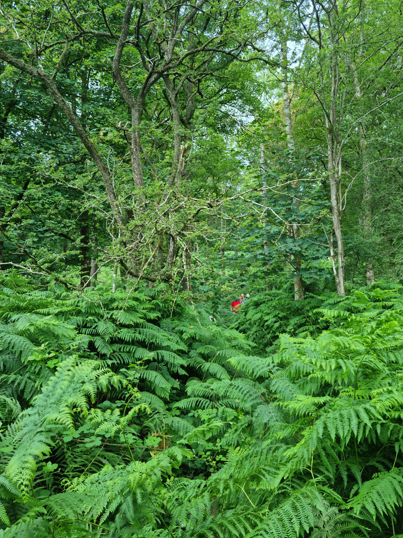
at first was a shady wood, but the path soon became overgrown and, full
of thorns and briars. At one point the path was so overgrown a couple of
us checked the map to see if there was an alternative route but it was decided
it was easier to plough on and 'thrash' our way through.
The descent through the woods. Isn't this nice?
It's not nice anymore. It's quite shit actually.
On finally leaving the forest we decided it was time for lunch and where
better to eat our sarnies than a spot marked on the map as Boat House.
In fact, the wood we'd just cut through was called Boat House Wood so it
was time for Boat House to make up for our vegetation filled boots.
There was indeed a boat house at Boat House and ample room for bums so
we found our spot and cracked on with lunch. All was going swimmingly
well until Claire dropped her £150 Raybans into the lake - Doh! Time to
fish them out but initial attempts proved futile due to the deeper than
expected water
and the various amounts of crap that idiots had thrown in (or washed up).
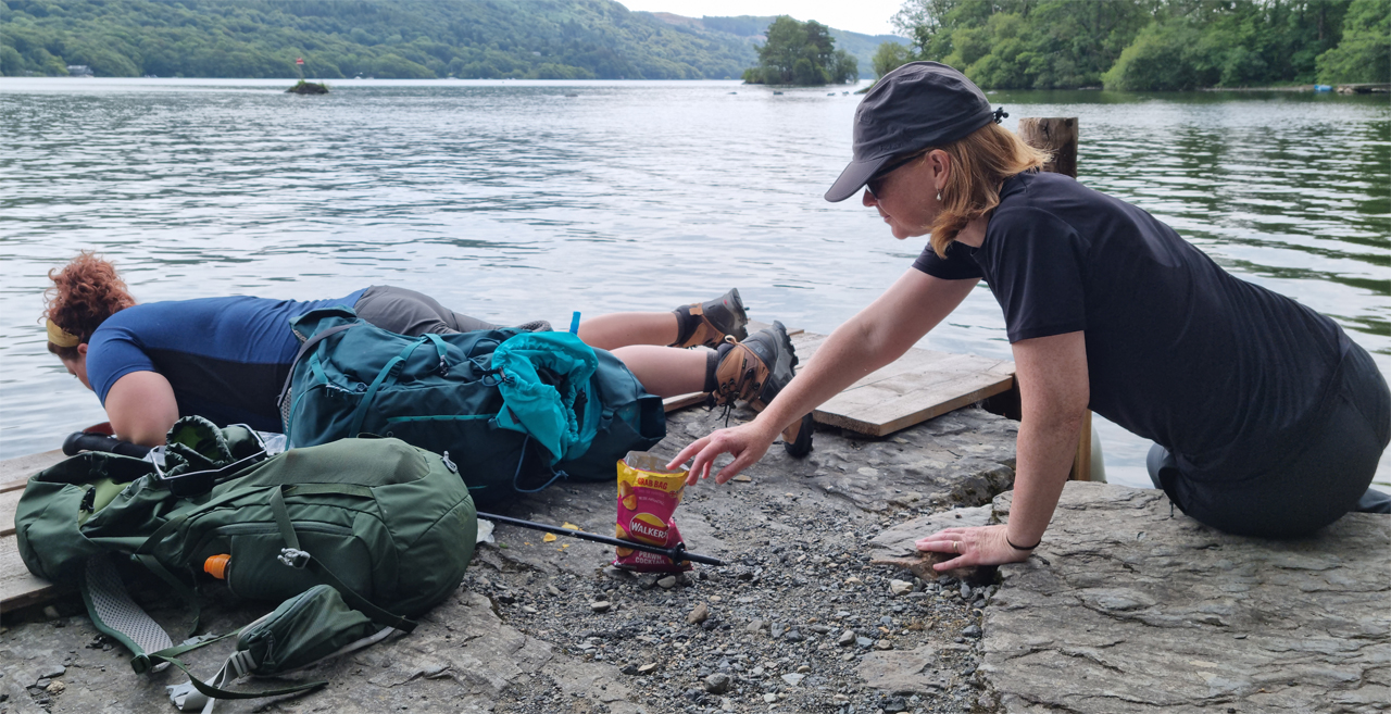
Alison spots a great opportunity to steal a crisp as Claire
struggles to retrieve her glasses.
Claire was going nowhere fast so decided that there was only one
solution - strip off and get in! We were all informed of Claire's
intentions so were advised to look away and, under no circumstances, get
our cameras out.
Eventually, after much fannying and arsing around, the glasses were
pulled out of Windermere - £150 saved!
Another mile of lakeside walking would see us ascend back to the road
where the main uphill section of the day was about to begin. We began
the steady ascent on another overgrown path which came as no surprise
as this initial section looked like it'd never been walked - does anyone
walk the Windermere Way?
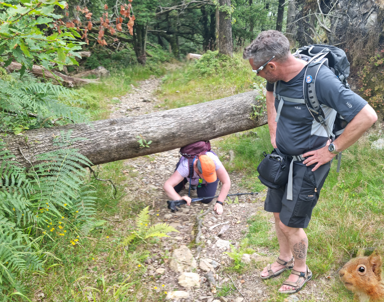
On and on and up it went with numerous fallen trees blocking the way,
Some could be walked over or under whilst others required a minor
detour.
Mark not helping Sarah Gls.
The highpoint of the ascent was High Dam which reminded me of Tarn Hows.
The pool was reached after a short period of rather nondescript walking
in an area of cleared forest but once this section had been navigated we
were walking on firm duckboards and we all know what this
means................drone action!
After disabling the air space warning Jim eventually launched the drone
which resulted in most of us suffering from temporary blindness thanks to
our futile attempt to monitor the drone's ascent. After various video and
photo shoots the drone was back in the box but not before a RAF A400M
transporter flew past nearby - Phew!
The scenic hidden gem that is High Dam. Welcome relief from the overgrown paths
experienced throughout the day.
Ken's not been a fan of drones since the new Amazon drone delivery
service dropped his new limited edition 384 piece Spode dinner service
onto his back lawn from 2500ft. Dam you drones, dam you!
We left High Dam and descended towards the tiny village of Finsthwaite
which stands alone in almost alpinelike surroundings. After a brief chat
to a friendly local we identified the correct route through a wood and
the final descent of the day to Lakeside where our ferry would be
leaving in approximately 20 minutes time. It'd been an enjoyable day in
an area of the Lakes that none of us had frequented before which
probably explained why it was all so very quiet. We came across hardly
any walkers all day, probably none during the first 4-5 miles, and the
state of some of the paths suggested that this section of the Windermere
Way isn't walked on a regular basis.
The return ferry trip gave us a distant view of much of the day's route
along with a glimpse as to what the following final day would offer:
potentially the longest day of the week and an ascent of Gummers How.
DAY 4 -
Bowness to Newby Bridge (9.5 miles\1960ft ascent)
The final day was upon us but rather than rejoin the route from where
we'd left off on the previous day's walk we would walk from Bowness as
the ferry timetable rendered the alternative option unusable unless we
were to adopt running pace.
The weather was slightly cooler than the previous day with the forecast
predicting the possibility of light rain. With this in mind many of us
decided to carry waterproofs.
We met outside the Royal Oak pub as the route would see us follow the
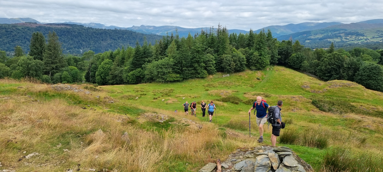
Dales Way out of Bowness before turning off south. Everyone enjoyed the
early ascent and everyone enjoyed my navigational balls-up as I
incorrectly climbed over Brant Fell. My excuse for this was that it'd
make a great viewpoint and this turned out to be the case. Still, no one
thanked me.
Alison injured her arm after slipping on a stone stile which ended up
being a painful nuisance for the rest of the day,
The facial expressions prove that the ascent of Brant Fell was the
highpoint of the week. Well done me!
After descending Brant Fell and joining what is known as the Windermere
Way we hit the road, passed the golf club and then descended slowly into
farming country where, despite being so close to the tourist hotspots of
Windermere, it all felt rather remote.
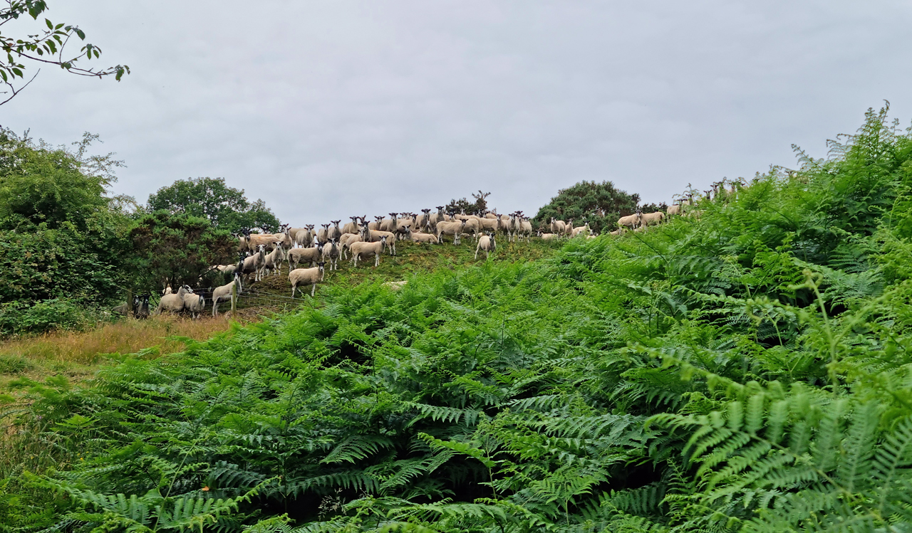
The going was undulating and easy going for a mile or two with no human
life encountered apart from wallers at one of the farms but a herd of
Britain's noisiest sheep provided a brief moment of mirth.
Baa, baa, baaaaa, baaaa, etc....
The route became less arable and more foresty as we headed towards a
small unnamed tarn on the Green Hill estate where various estate workers
had been scooting around on their quad bikes doing whatever estate
workers do.
Approaching the unnamed tarn with the hills of the eastern fells in
the background. We were still talking about how much we'd all enjoyed
Brant Fell.
On heading off the road towards Moor How the owner, we assume, stopped
his truck to inform us that the path ploughs straight through his garden
and that despite it not looking to be the case we could simply walk
through. OK - fair enough. After surviving the valley of the pheasants
(there were hundreds of them) we came across Moor How itself only to be
greeted by signs that stated that there was no public access and no
entry. Hhmmm!
Following the owner's advice we ignored the signs, walked straight
through his garden, past the swing and over the trampoline where a gate
proved too challenging for Jon. What we assume was the owner's son came
out to see what was going on and offered no advice whatsoever. Jim saved
the day by opening the gate and the 'no access' horrors of Moor How were
behind us.
After a period of walking around woods we were now entering a section in
the woods which at times were enjoyable but at other times fucking awful.
Nice deciduous woodland.
The scenic deciduous woodland took a turn for the worse as it became
decidedly overgrown with the path being sketchy at times and much
bracken had to be cleared as we approached Birch Fell Plantation. True
to its name Birch Fell Plantation had been felled, despite what the
latest OS map believes, and it was now an apocalyptic mess. The supposed
paths were hard to find and what was left of them left a lot to be
desired from an underfoot comfort perspective. This was wankle country
par excellence.
An ascent by the side of what was left of the forest resulted in us
reaching the
shittiest section of the entire walk as the resulting descent through
felled pines proved more than tiresome.
Alison looks shocked as the rest of the team struggle in the nuclear
wasteland that is Birch Fell Plantation.
Gummers How was now clearly in view and after skirting the side of
'Reservoir' we followed a rather indistinct path (another one) to reach
the main tourist path that leads to the summit. The ascent from this
angle was a lot easier than expected if you discount the miles of forest
and associated crap we'd battled through in the previous hour.
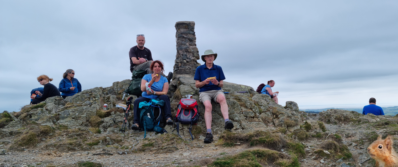
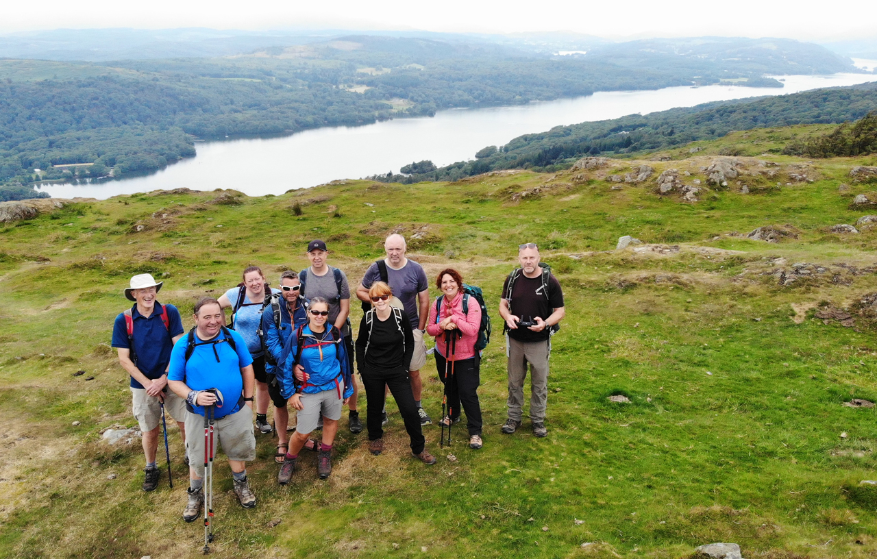
The summit of Gummers How (1053ft) and the high point of the final
day.
The official Windermere Way now plots a devious route through more
forestry away from the lake and around its base to reach Newby Bridge
and a last walk on the road back to Lakeside. We'd had enough of forests,
or the lack of it, for one day so decided to follow the official route as
far as the road and then descend the road to Fell Foot where we could
take a short ferry back to Lakeside. We met at the junction of the
Gummers How road and the main A592 to move forward as a group. I'd been
taking a keen eye to the lake from above and hadn't seen a ferry going
between Fell Foot and Lakeside so Jon decided to ring Fell Foot who
kindly informed us that the ferry hadn't ran since Covid. Bollocks! Big
bad bollocks!
I'd never fancied the road walk on the A592 as I could recall it not
being particularly pedestrian friendly but this was our only real option
other than wait over a hour for a bus (what a shitty end) or reclimb the
Gummers How road and walk the rest of the official route. This wasn't
going to happen so we set off on the A592 and, to be fair, it was as bad
as expected.
The final mile stretch of the A592 on foot was horrendous thanks to the
fast oncoming traffic, no pavement and the odd bend that required us to
cross the road and walk with the traffic coming from behind. I led at
the front with my trusty Tilley hat held in front of me as protection
against the onslaught. After all, who is cruel enough to run over anyone
who wears a Tilley hat?
The holy grail that was the pavement was met with great relief and other
options other than funerals and mopping up pedestrians could now be discussed:
walk the final mile on the B road to Lakeside and take the ferry or end
at the Newby Bridge hotel with a pint or two and take the bus. We
decided on the latter as everyone had had their fill of zero-pavement
road walking.
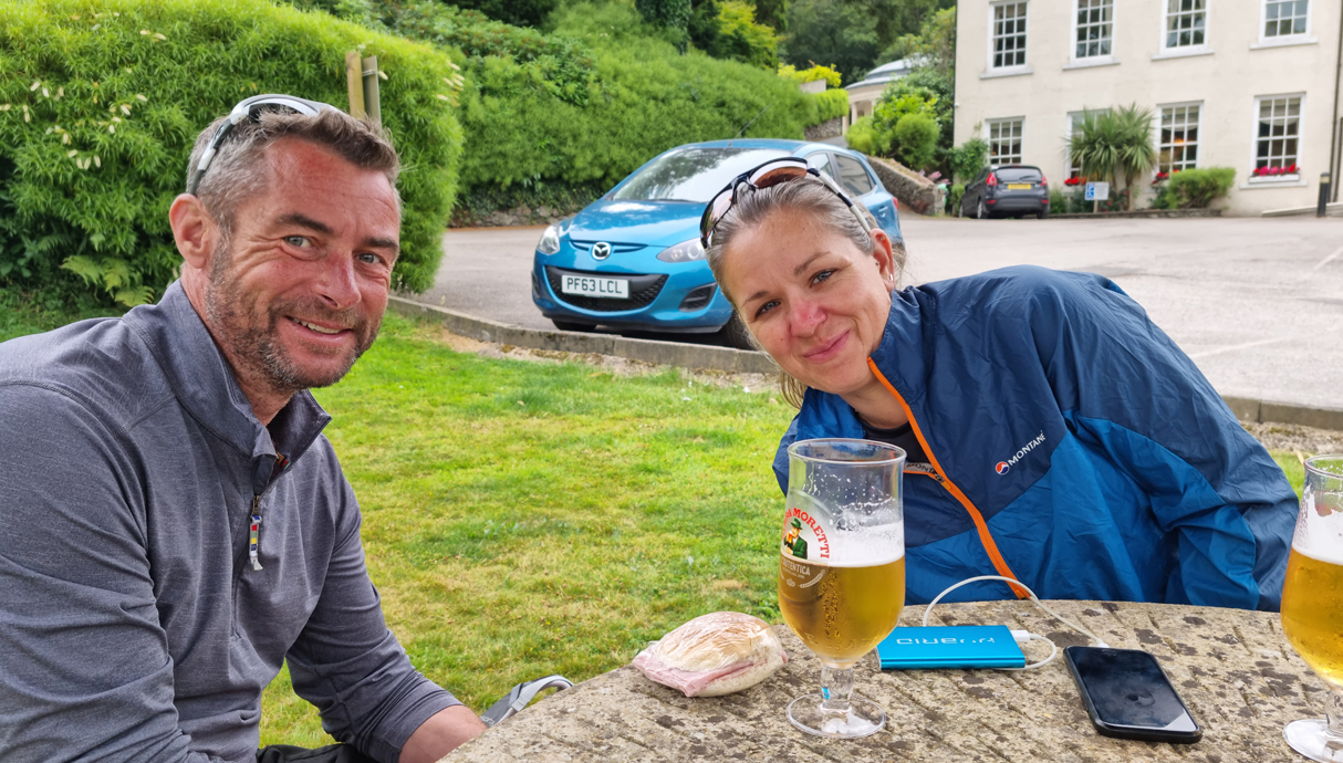
End of walk pint on the lawn of the Newby Bridge Hotel. Only minutes
later the truck in the background killed the entire Cowhole walking team
as they too finished their walk on the A592.
As I drank my Peroni I had an idea - why not see if we can get a taxi
company to take us back to Bowness. This is what I did and this is how
we got back along with the added bonus of saving a few quid.
We forgot to do the end of walk photo shoot so here's the rest of us in
celebratory mode:
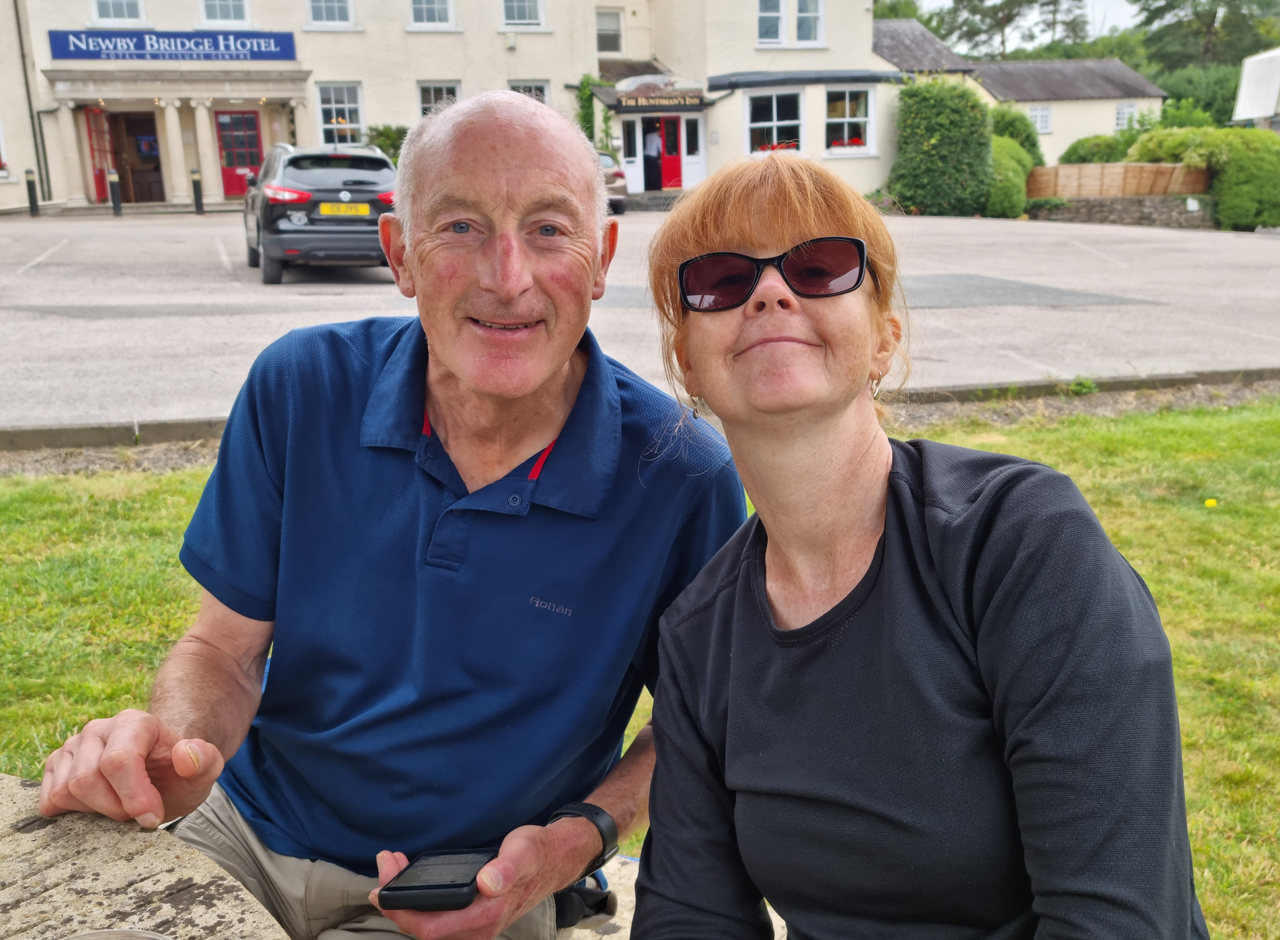
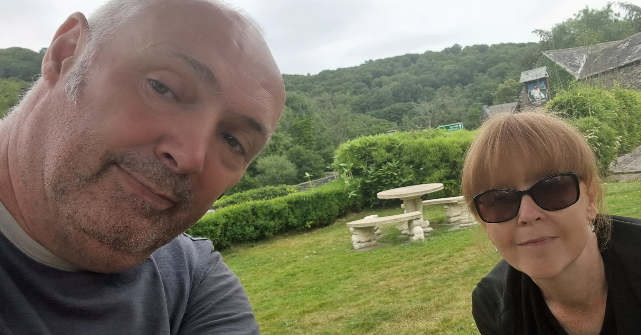
Mark and Sarah Jones.
King Ken and Alison.
Sean and Alison.
So there we have it, the Windermere Way, or most of it. I'd been looking
forward to this walk as it'd take me to areas of the Lake District that
I'd never given any attention to and it certainly delivered on that
front. The vast majority of the way provided superb scenic walking with
enough changes of scenery to maintain the interest but the felled
forests of day 4 could be truly kicked into touch. We aborted the ascent
of Claife Heights on day 2 because of the heat but I'm not sure that
there's any scenic advantage to walking through forests over a route
that stays by the lake - after all, it is the Windermere Way so why walk
where you can't see it?
Anyway, we all did it, golds all around. Well done all!
To finish this report off here's what could be classed as an end of walk
image thanks to the
nerdiness magic of Jim's drone - a shot of the team on Gummers
How with Windermere as a backdrop....
After a week of intense heat and action here's the customary injury
table which is suprisingly bare: