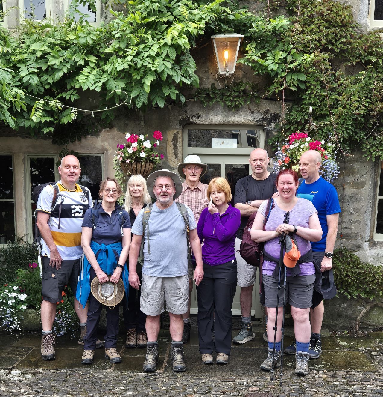
Mike Riley, Jane Darlington, Susan Lewis, Gordon Darlington, Ken
Hodgkinson, Alison Bond, Sean Bond, Sarah Gilson, Jon Gilson
DAY 1 -
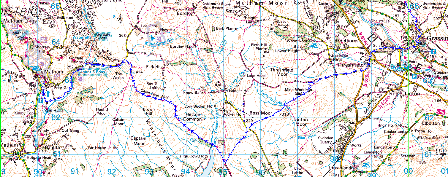
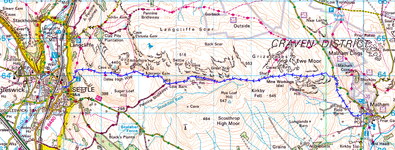
Grassington to Malham (9.5 miles\1492ft ascent)
2024 marked 20 years since our long distance walking adventures
began when a small group of walkers decided to take on the West Highland
Way. Since then we've taken on many more challenges where we've welcomed
new recruits and seen old friends move on.
An attempt was made to bring back the original team from 2004, as far as
possible, but Neil and Dave had succumbed to various knee complaints and
Terry was sadly no longer with us. Could I devise a walk which could
accommodate all of the other walkers that had joined our previous walks?
No. The numbers were simply too great and this would prevent us from
using a baggage carrying service between stops. A single destination
option was considered but the romance of a multi-location circular route
was too hard a temptation to resist.
The final group consisted of the remaining WHW 2004 veterans with a
select special few. I'd devised a 'made-up' route in the Yorkshire Dales
which, as if by magic, took in many of my favourite towns and villages
whilst keeping the distances bearable for our aging legs,
The total route would be approximately 56 miles in length and include
7500ft of ascent over an easy 5 days.
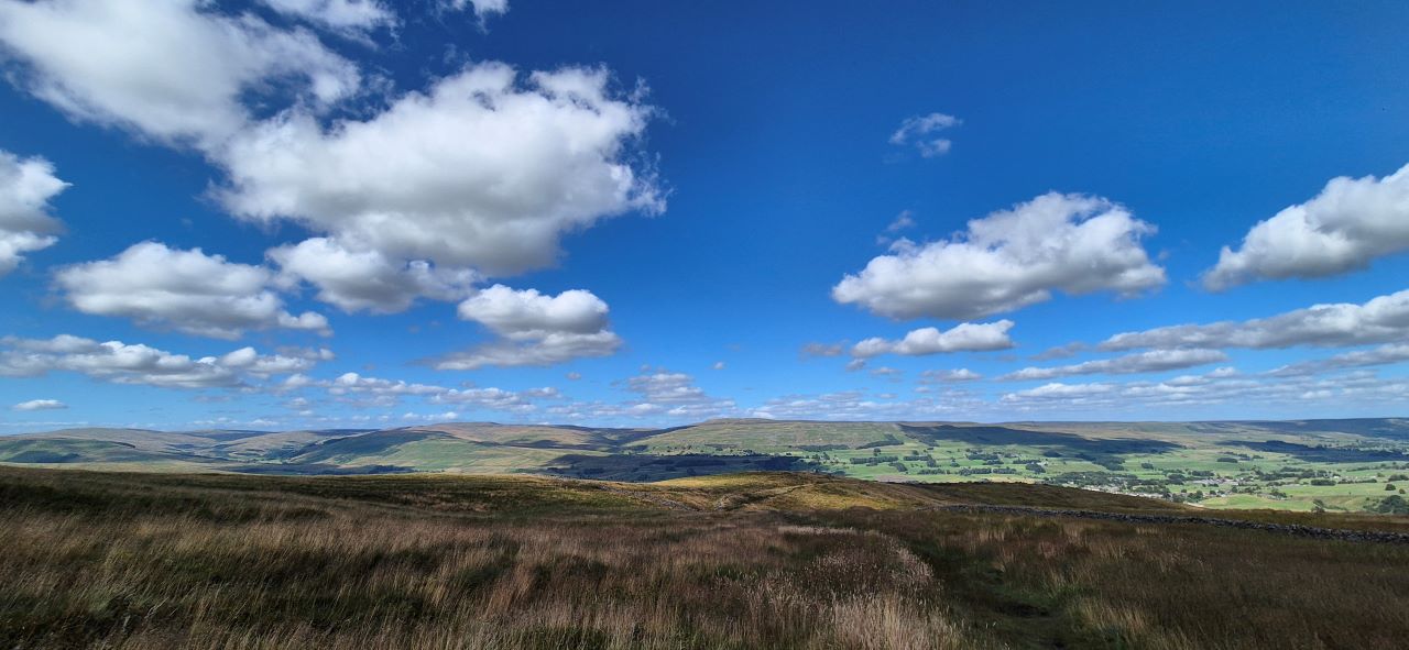
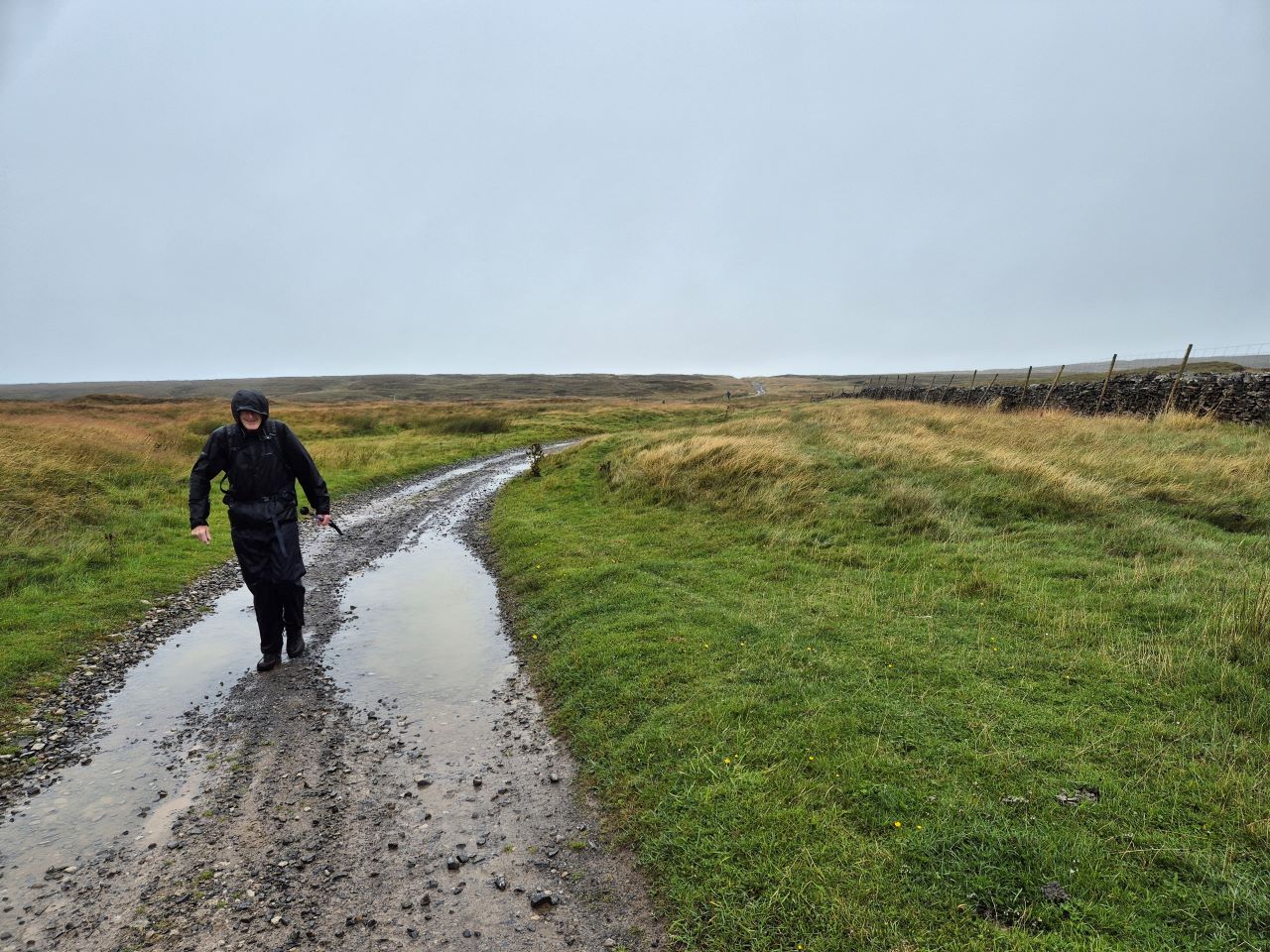
The first day was to be an easy, but unknown route, over the moors from
Grassington to Malham. As is usually the case for our first day the
forecast was pretty poor with the threat of heavy rain and thunderstorms
hanging over the morning where we'd be crossing the unexplored, by us
anyway, terrain which had every chance of being wet and boggy.
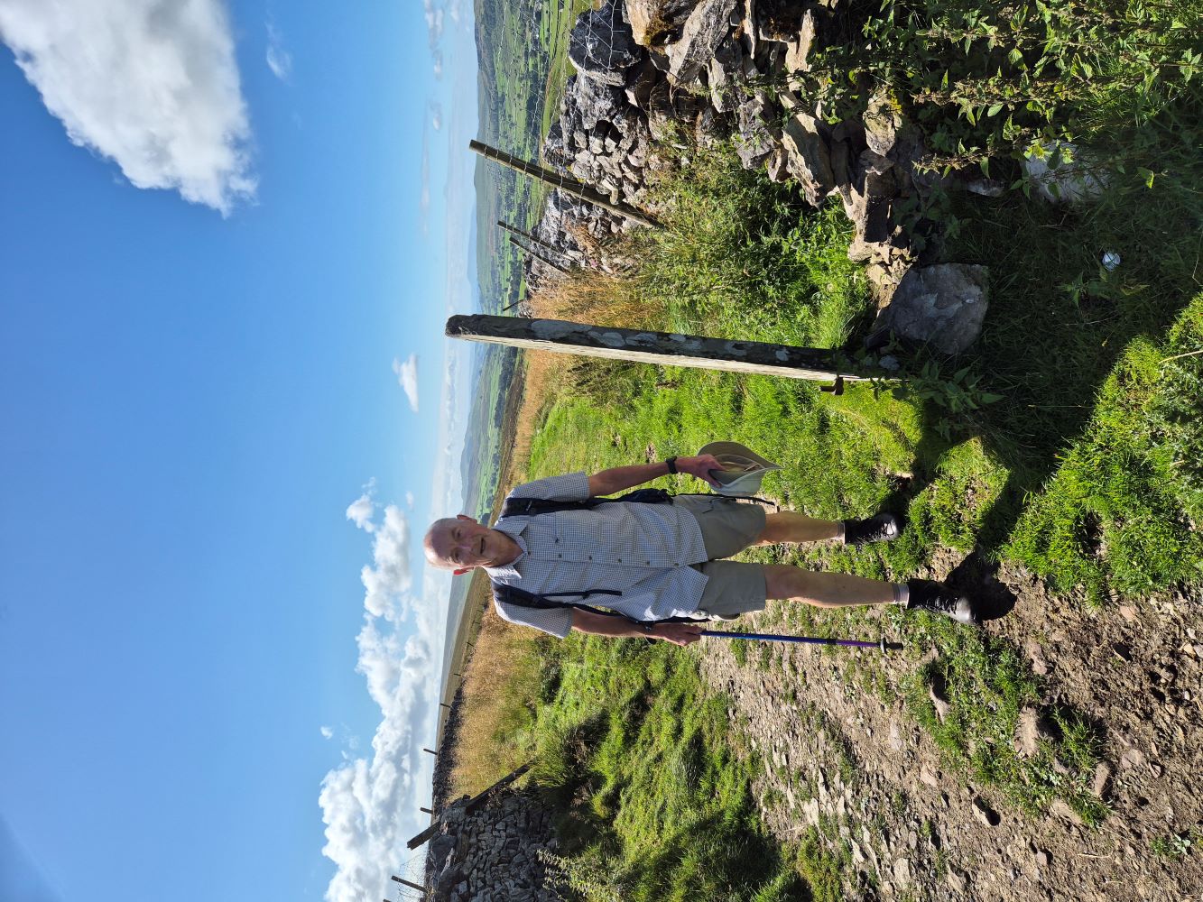
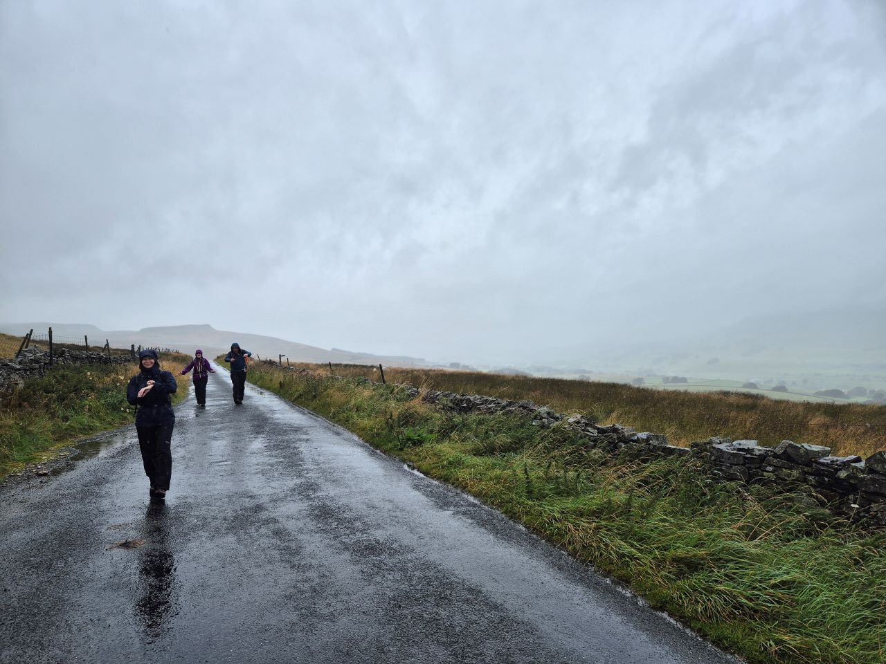
The skies were dark but the temperature pretty mild as we set off with
the odd spot of rain reminding us of the forecast. We walked on the
roads out of Grassington and into Threshfield where a descent down and
over a bridge would see us climb to the point where we headed right
and into more rural surroundings,
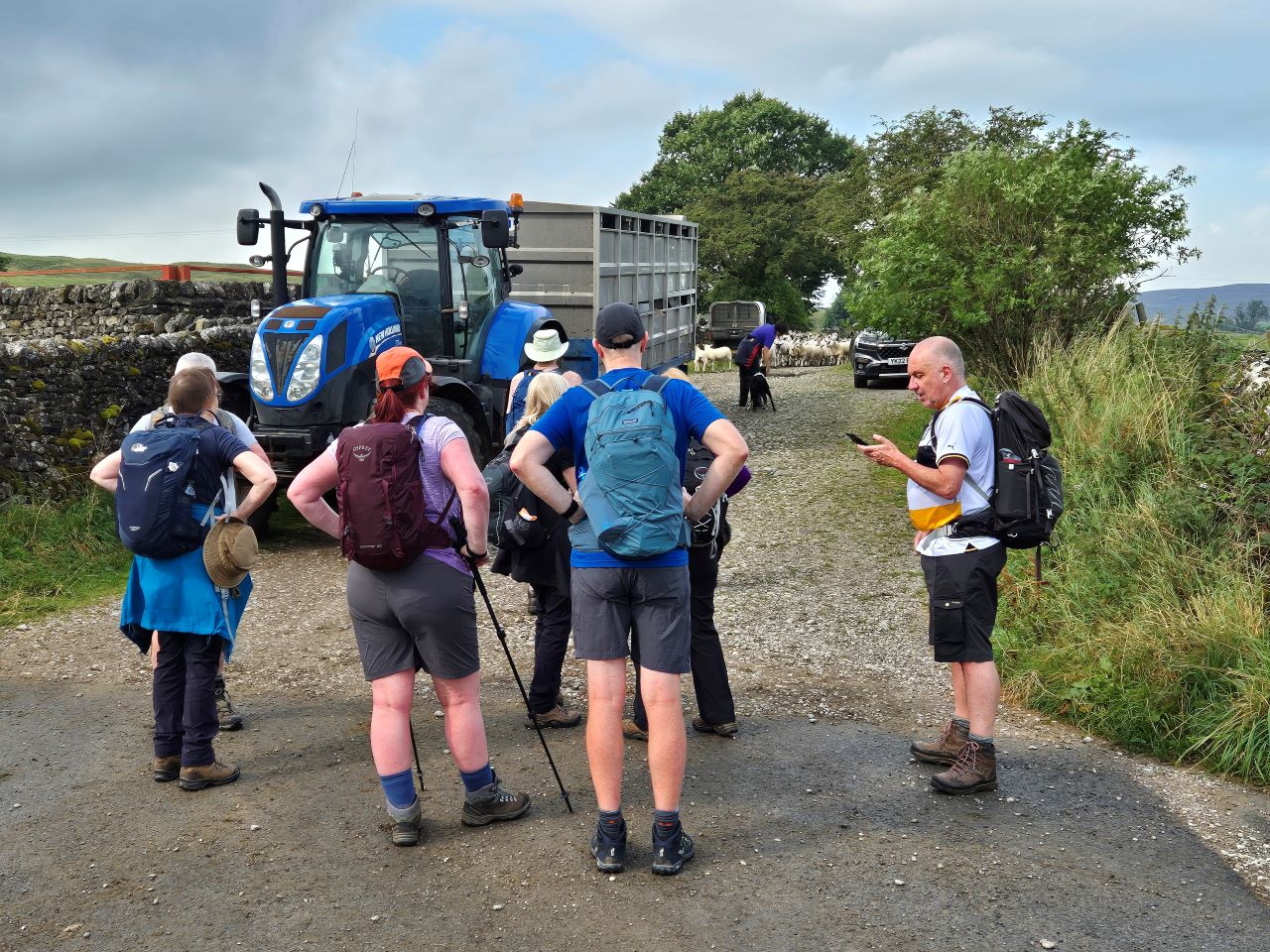
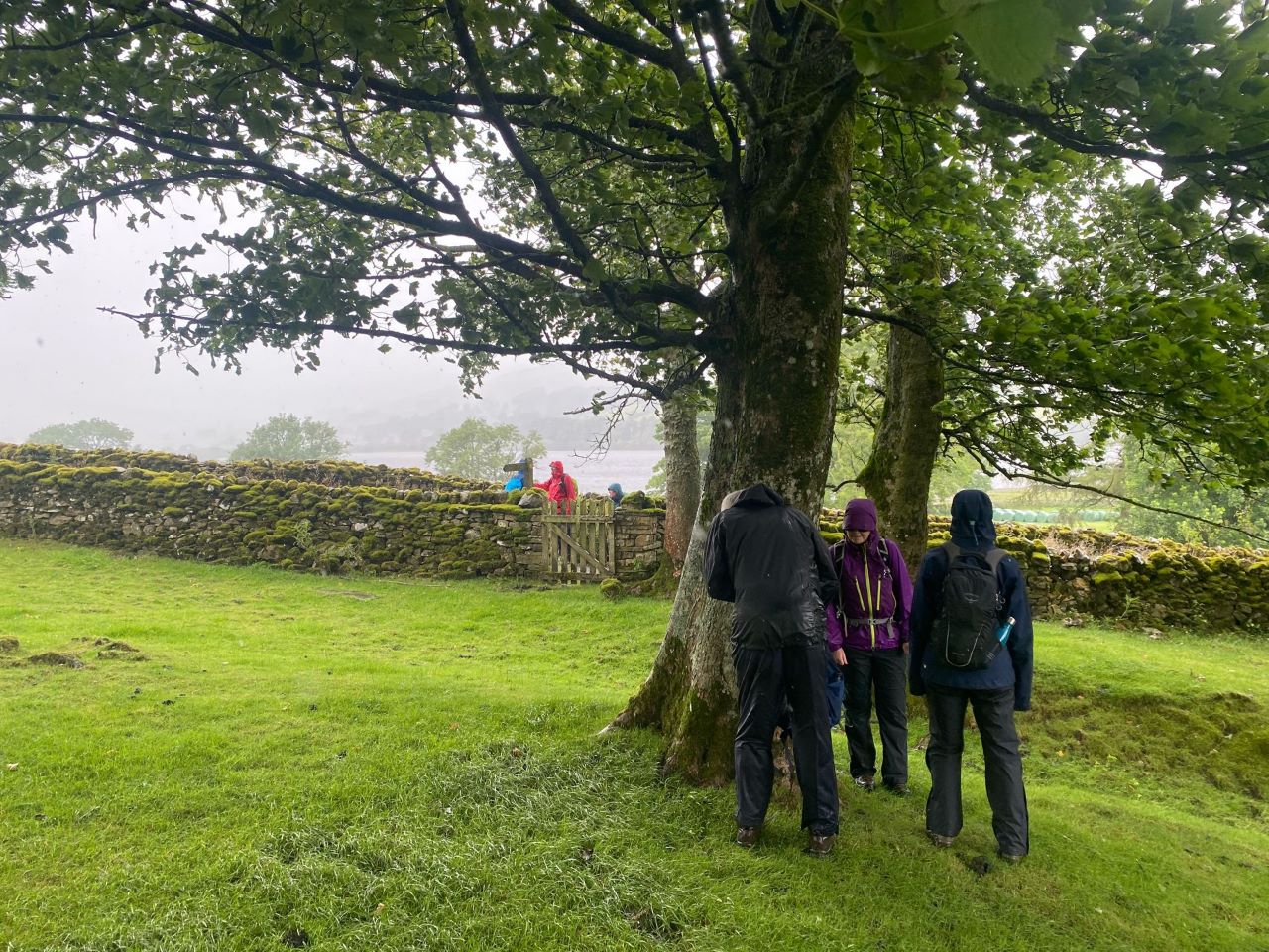
The walk took an unexpected turn when a large gathering of sheep blocked
our way thanks to farmers who were separating the young from their
parents. We were informed that the process would take approximately 10
minutes which gave us time to comtemplate the rest of the route and the
many path options that lay before us. The moorland offered numerous
paths and roads that could help us on our way to Malham but I decided to
choose the route based on the weather and the underfoot conditions, The
sheep were processed, the farmers thanked us for our patience so on we
went.
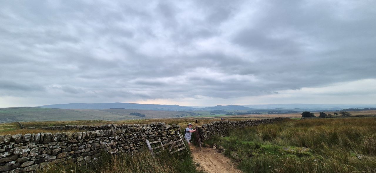
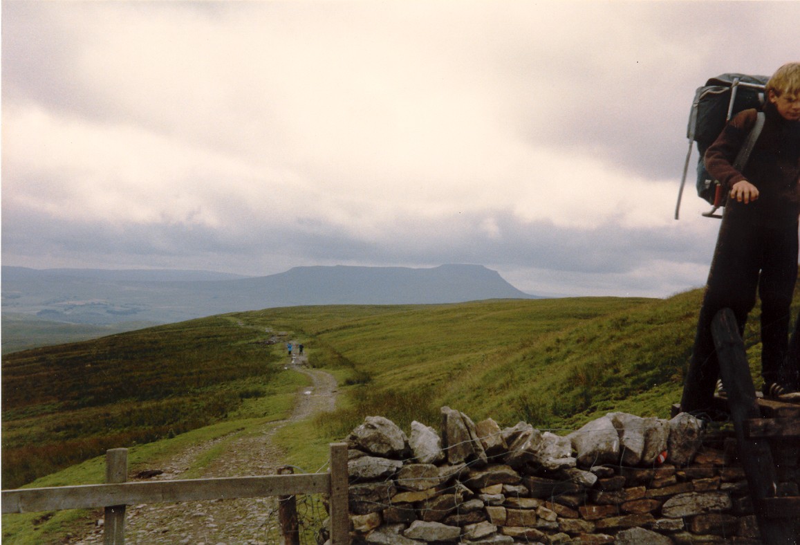
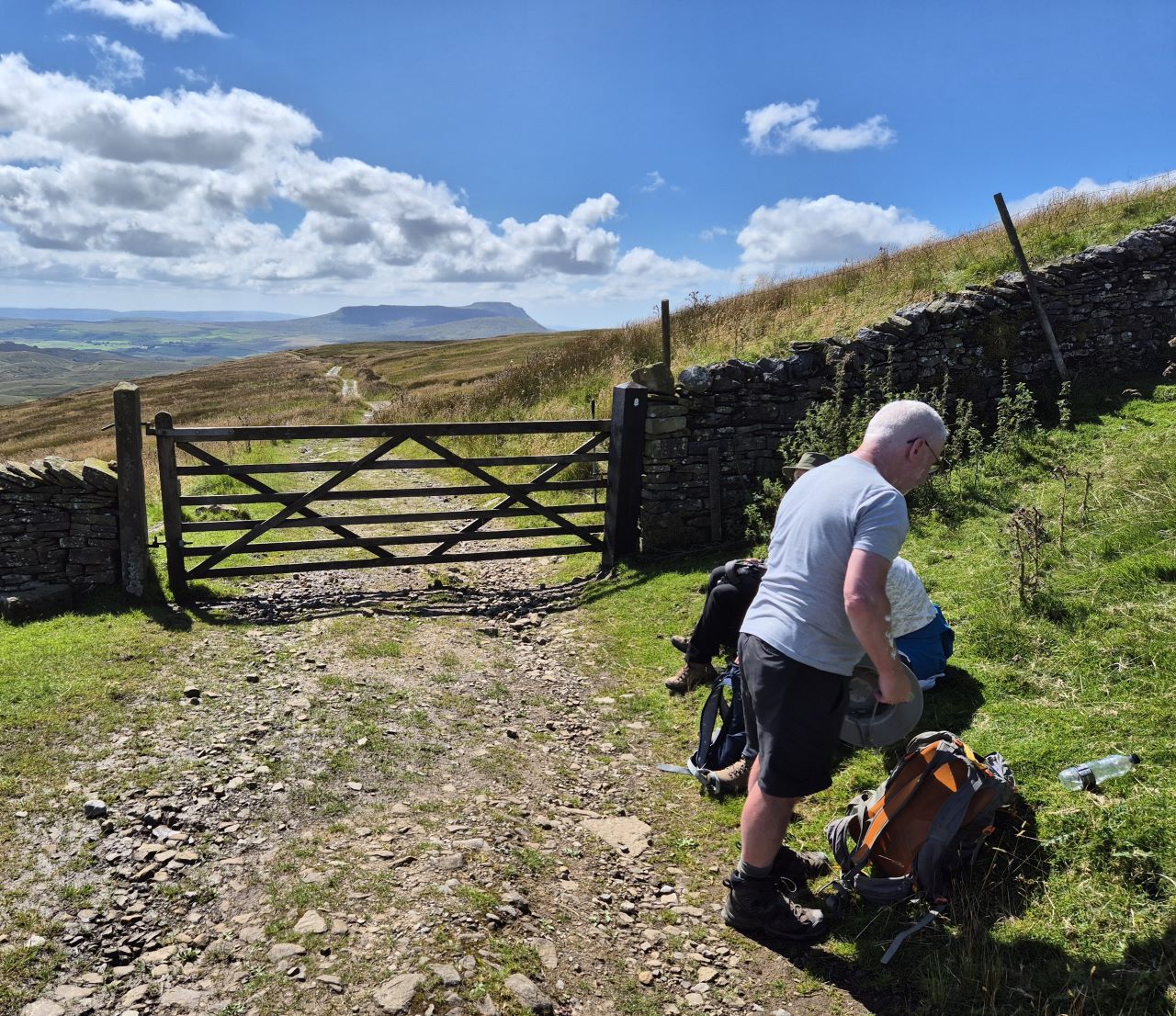
The unexpected stop before we hit the moors.
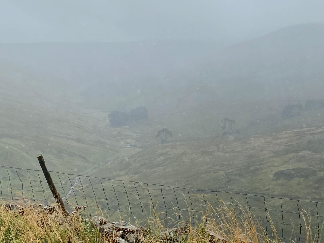
On reaching the end of the farm road we finally reached the moor and the
first route decision of the day. It didn't look like raining or
thundering and the first taste of moorland suggested that the ground was
pretty dry and the paths pretty good. I decided to take the more direct
path over the moor to Boss Moor rather then take a more circuitous route
which used what would have been a dryer green lane.
The path was distinct for most of the next couple of miles but the odd
'missing' section suggested that this wasn't a well walked route. The
odd abandoned mine working reminded us of an age where people would have
walked up here every day, in all conditions.
Weather improving as we head over the moors.
On reaching the summit of Boss Moor the scenery changed and the Winterburn
Reservoir suddenly appeared to the west. A gradual descent towards the reservoir
would see us turning sharp right to join the Dales Highway - a path we
would follow for the next couple of miles.
The gradual ascent over the Dales Highway. Gordon passes through a
rare gate.
Everyone was walking well considering that a number of us had done
very little walking but this was only the first day so don't brag yet.
Jane, Susan and Ken continue to walk every week but to be fair they are
retired ;-)
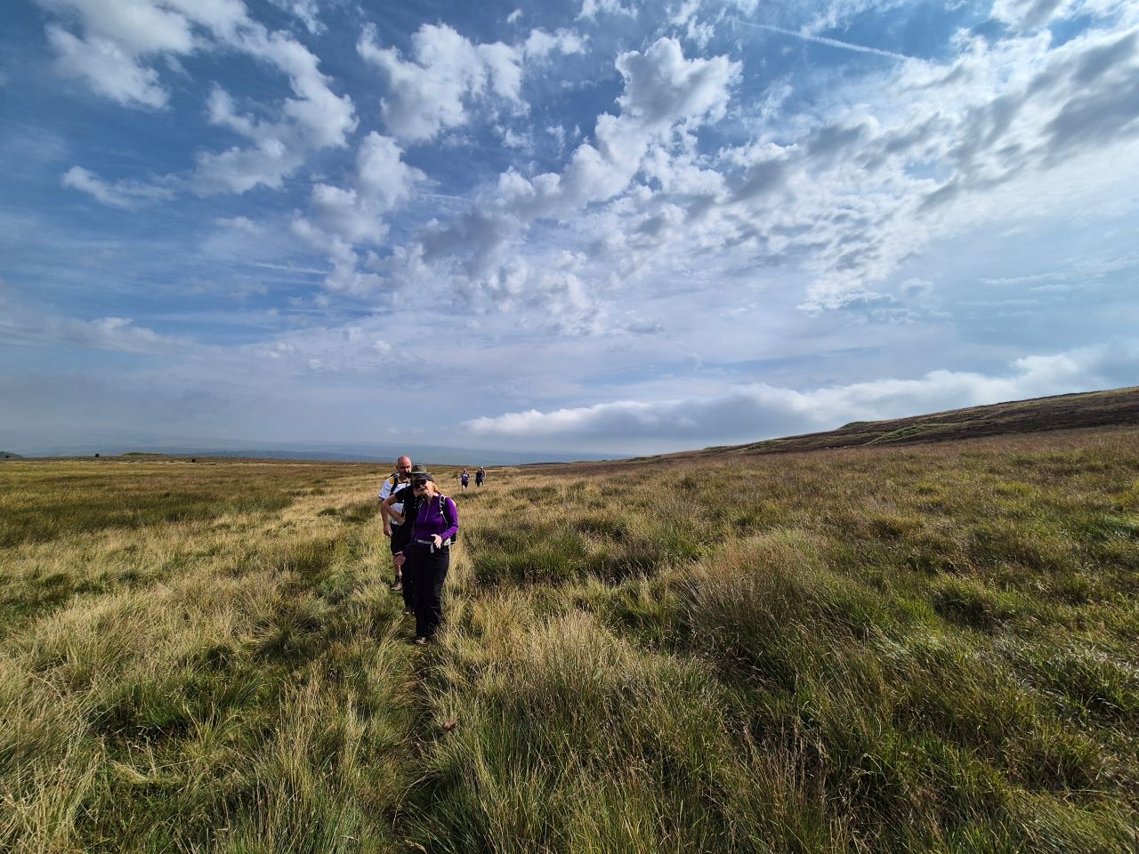
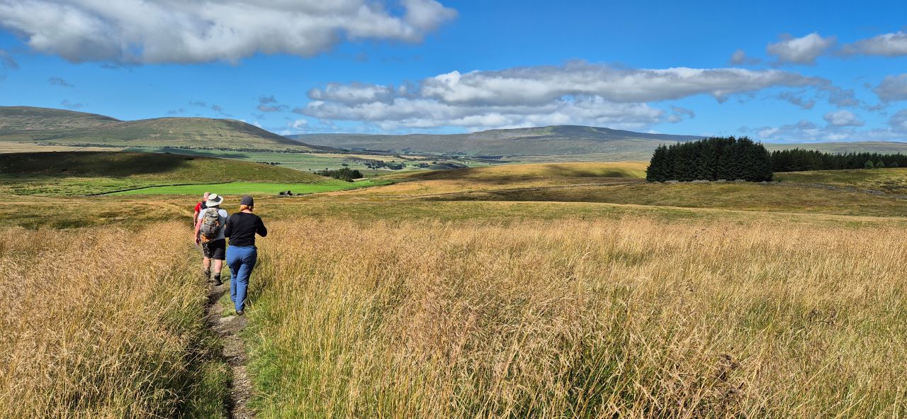
The sunny skies we'd enjoyed earlier in the day were turning a bit greyer but there was
still no sign
of rain so no need to don coats or waterproofs. The route over Hetton Common was bleak but provided a good
opportunity to 'get going' which, for some of us, was an early test of fitness.
It was decided that lunch would be taken once we'd reached the
summit of Weets Hill.
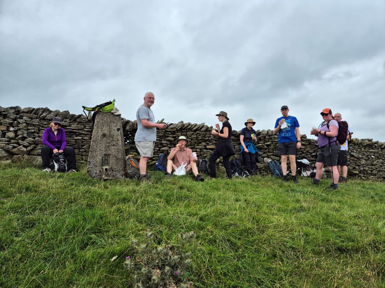
Lunch on the summit of Weets Hill, the highpoint of the day. All
that remained was the descent into Malham. Thank God for Ken's plastic
bag.
We now had a number of options for the descent into Malham - we could follow
the road all the way into the village, take the Dales Highway and drop
down into Malham from above the cove or take the route down to Janet's
Foss and join the Pennine Way to Malham. We decided on the latter.
Janet's Foss was as busy as expected as was the slightly damp and smooth
limestone path that leads to hit. This resulted in a minor fall for
Alison, the Queen of the Limestone, with my efforts to ease the going
for Al resulting in me getting mud and crap all over my shorts and hat. No harm done -
on we went.
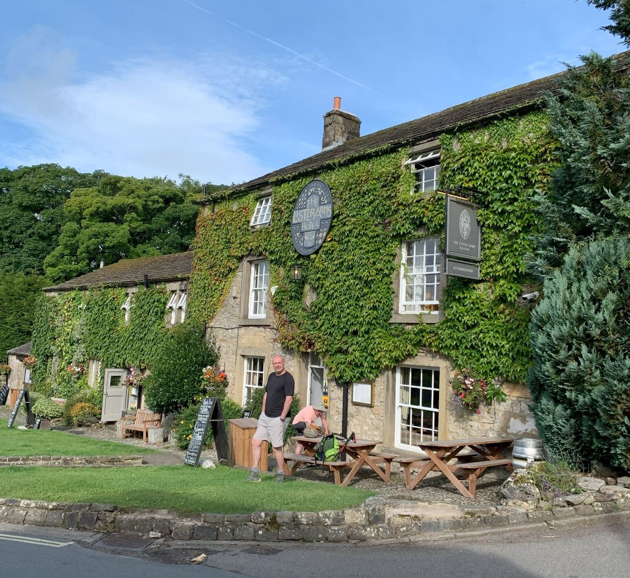
It wasn't long before we reached Malham and the Lister Arms, our
accommodation for the evening.
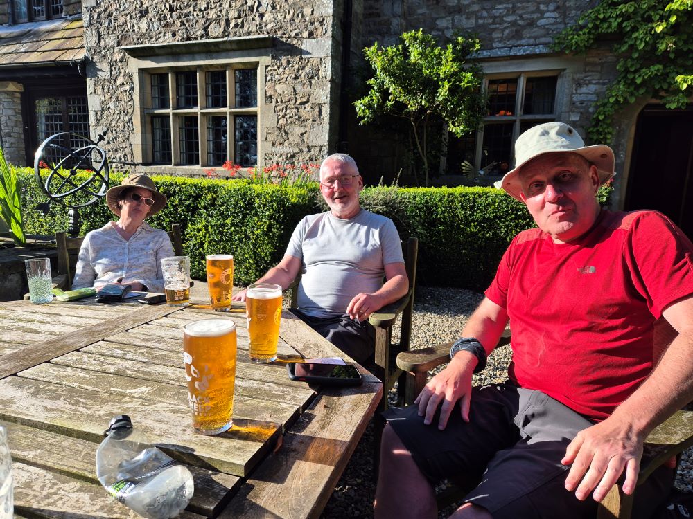
Oh go on then.
The Lister Arms was excellent and an enjoyable night was had by all - good
beer, wine and food! The next day would see us taking on an easy short
day to Settle with our special guest stars. Who could they be?
DAY 2 -
Malham to Settle (6.1 miles\1292ft ascent)
Today was our easy day - a quick 6+ mile saunter to Malham.
We'd agreed to meet our old lost friend Macca's sister, Fiona, and her
husband Jez who had travelled up from Bingley in two cars. A 10am start
was more than welcome but we wanted to hit Settle before 2ish as the
forecast was for heavy and persistent rain.
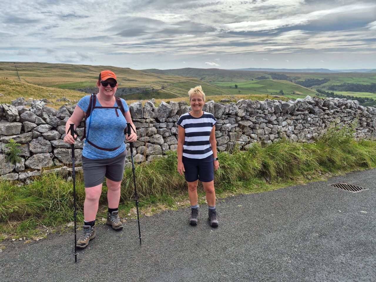
Ready for the off outside the Lister Arms. All very pleasant.
Fiona and Jez arrived at 10am as promised and after a quick hug and
introduction session we said our goodbyes to Malham and set off on the
600ft climb that would see us entering the limestone environs of Ewe Moor.
Sarah and Fiona on the climb up to Ewe Moor.
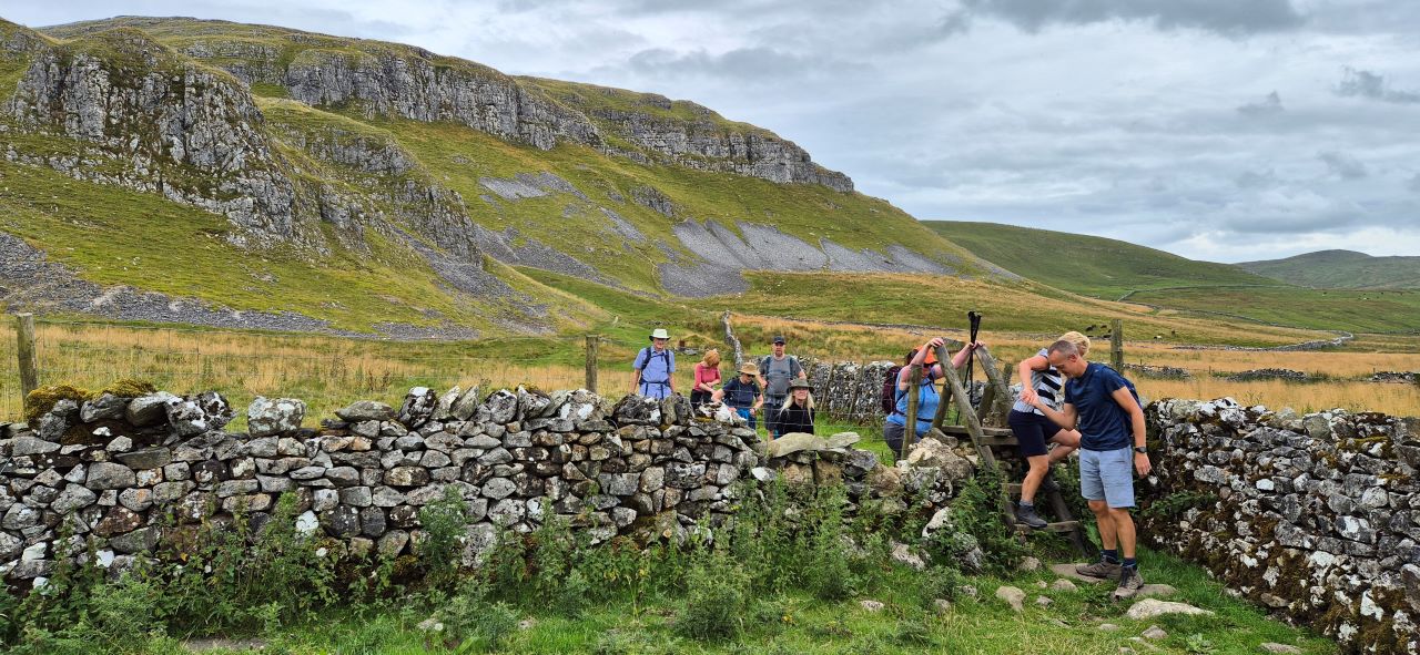
The final push up the road and the first section of the moor got the
heart's racing but before long we were well on the way to Stockdale Farm
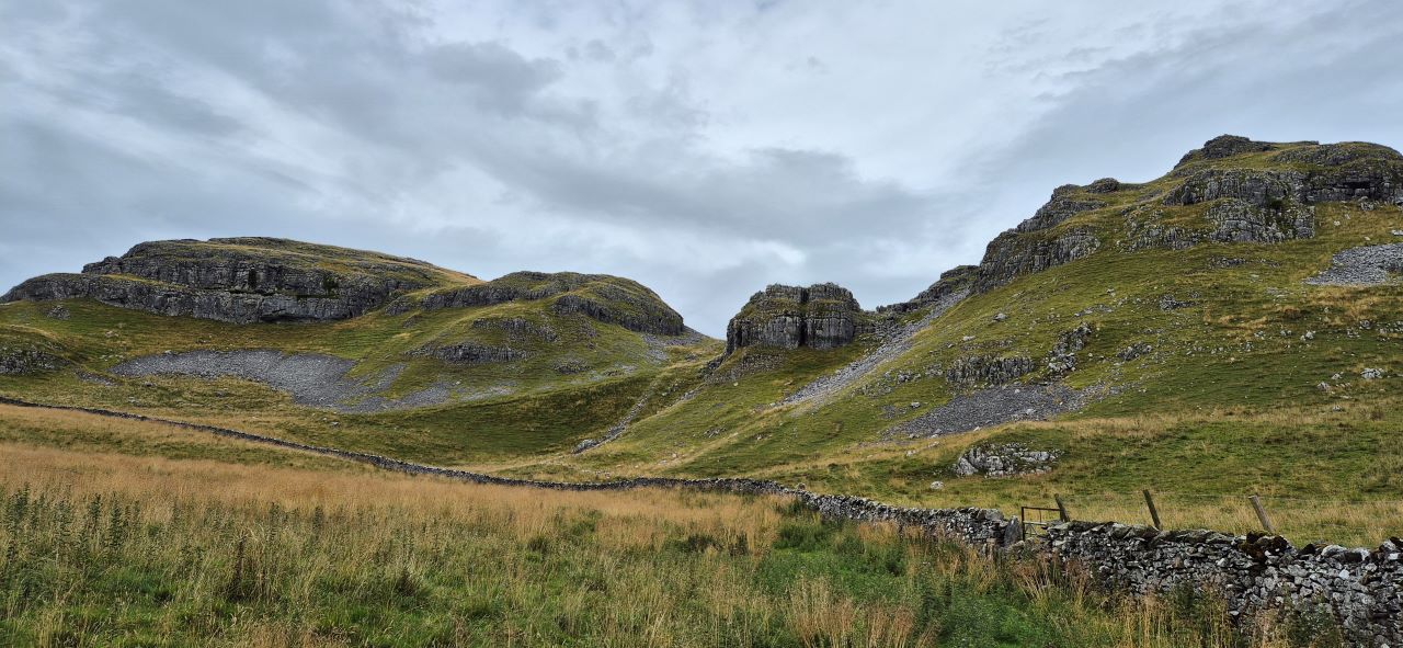
where the impressive Attermire Scar beckoned in the distance.
The team march on at Attermire Scar.
More Attermire Scar porn. I like it here.
After a short climb the views over to a rather dark looking western skyscape
threatened rain - and that's what happened. A few heavy drops forced the
majority of the team to put on the waterproofs which, as you can
guess, was a complete waste of time as the rain magically stopped almost
as soon as we'd layered up.
The views down into Settle maintained the interest as did the steep descent on
grass. Would there be any falls? Was the light shower perfectly timed to
grease the route? No - we all survived.
The descent into Settle - thankfully without the need for
waterproofs.
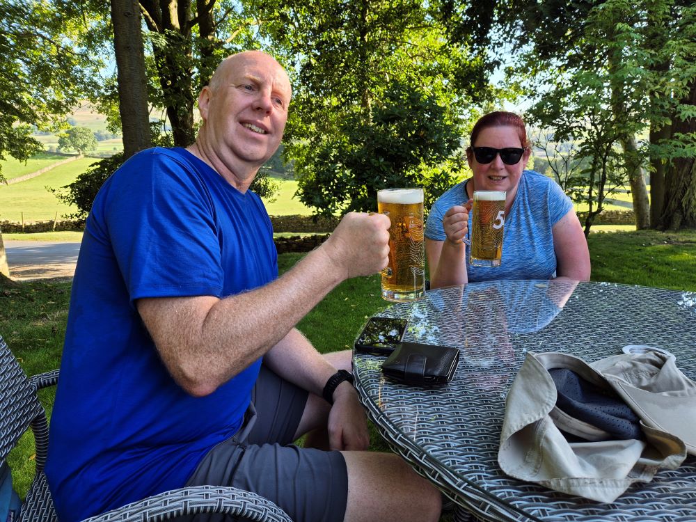
The majority of the group decided that a pint and sandwich at the Talbot Arms
was calling whereas Susan, Jane and Ken reckoned that the 6 mile walk
only deserved a cup of coffee.
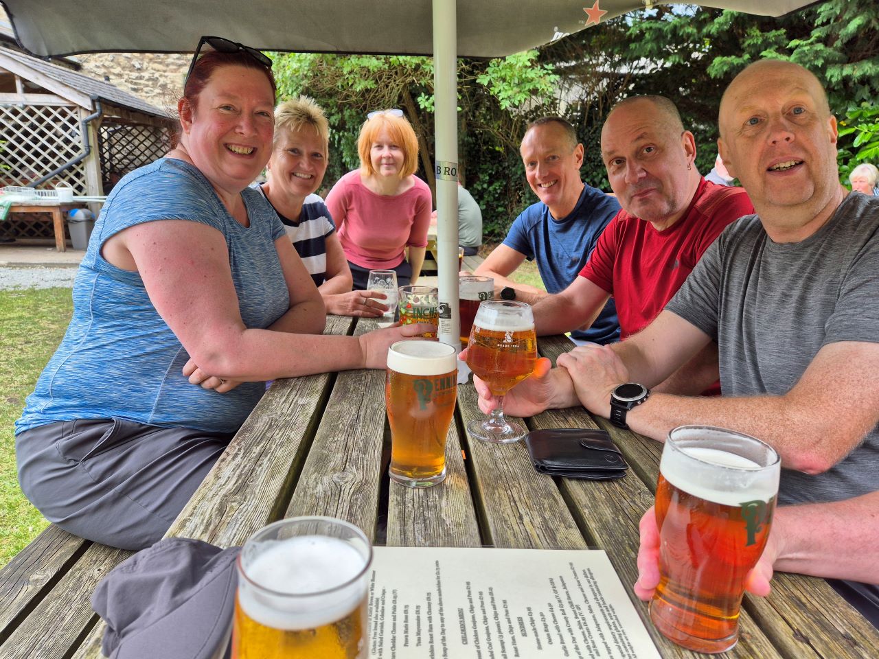
Sarah, Fiona, Alison, Jez, Mike and Jon in the Talbot Arm's beer
garden. Gordon's arm makes a special guest appearance bottom right.
As we expected this had been an enjoyable short walk with good views and
pleasant paths. We said our goodbyes to Jez and Fiona who tootled off
back to Bingley.
Again, the food and ale at the Golden Lion were spot on and yet another
great night was drunk up. Tomorrow would see us taking on the longest
day of the week with the 15 miler from Horton to Hawes on the Pennine
Way. The forecast was excellent and we were all walking without injury
or fitness issues so bring it on!
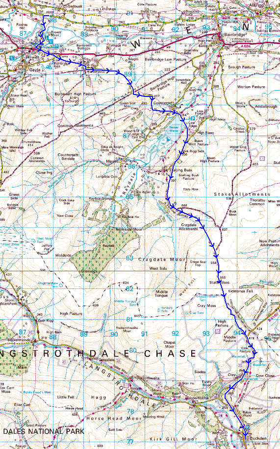
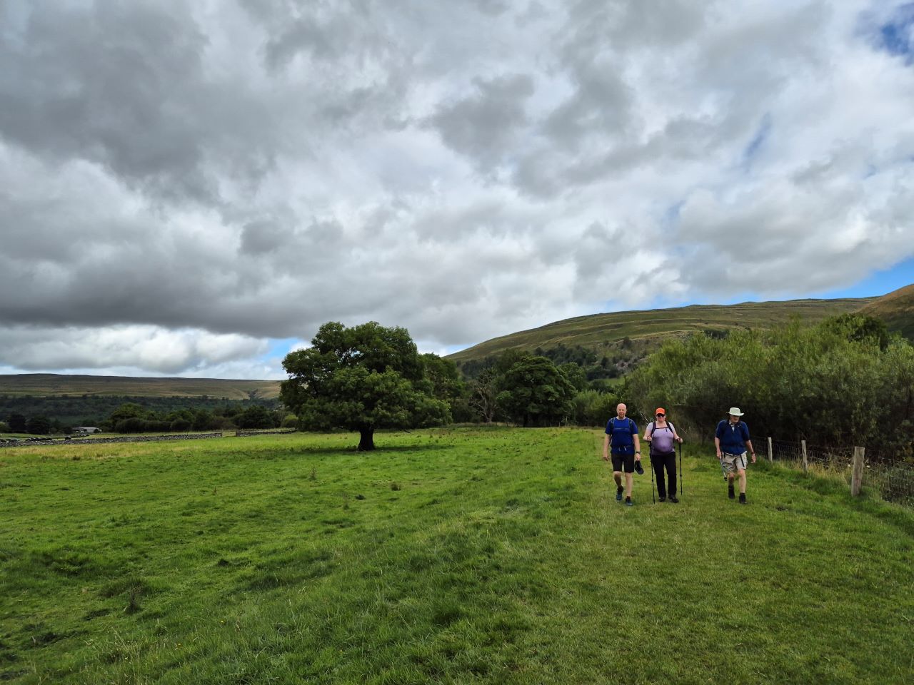
DAY 3 - Horton to Hawes (14.6 miles\2036ft ascent)
I'd been looking forward to this day for quite some time as it
was a memorable walk when Ratboy and I took on the Pennine Way in 1986.
I remember the views being excellent even though the weather in 1986 was
dark, dreary and very windy. A small section of today's route is
included in the Dales Way so the walkers who'd taken on the DW challenge
would probably recognise parts of it.
The weather, as forecast, was stunning but there was one crucial cog in
the workings of the day - we had to get the bus from Settle to Horton.
Miss this and we'd be knackered as taxis and minibus's don't seem to
live in this part of the Dales.
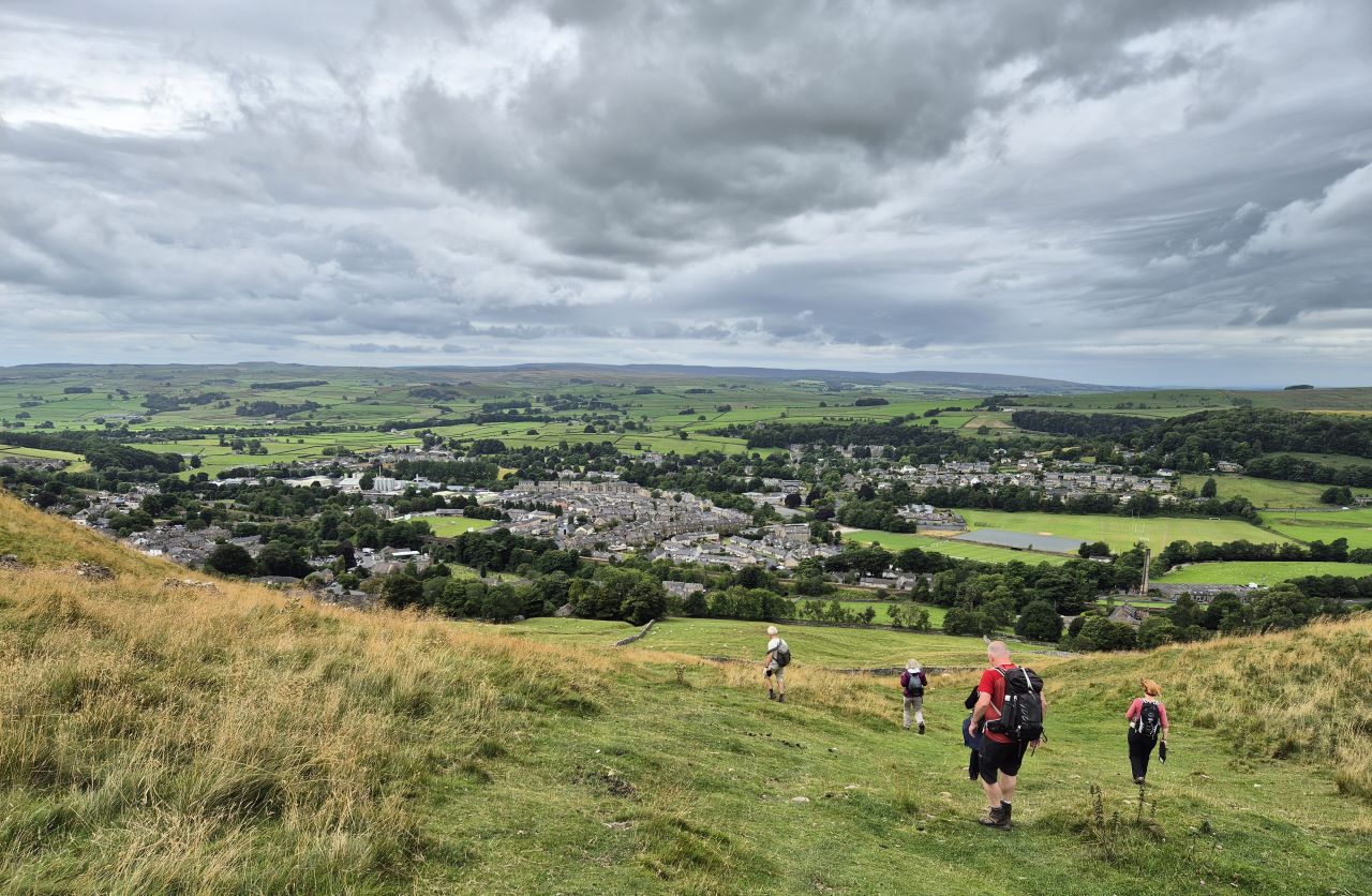
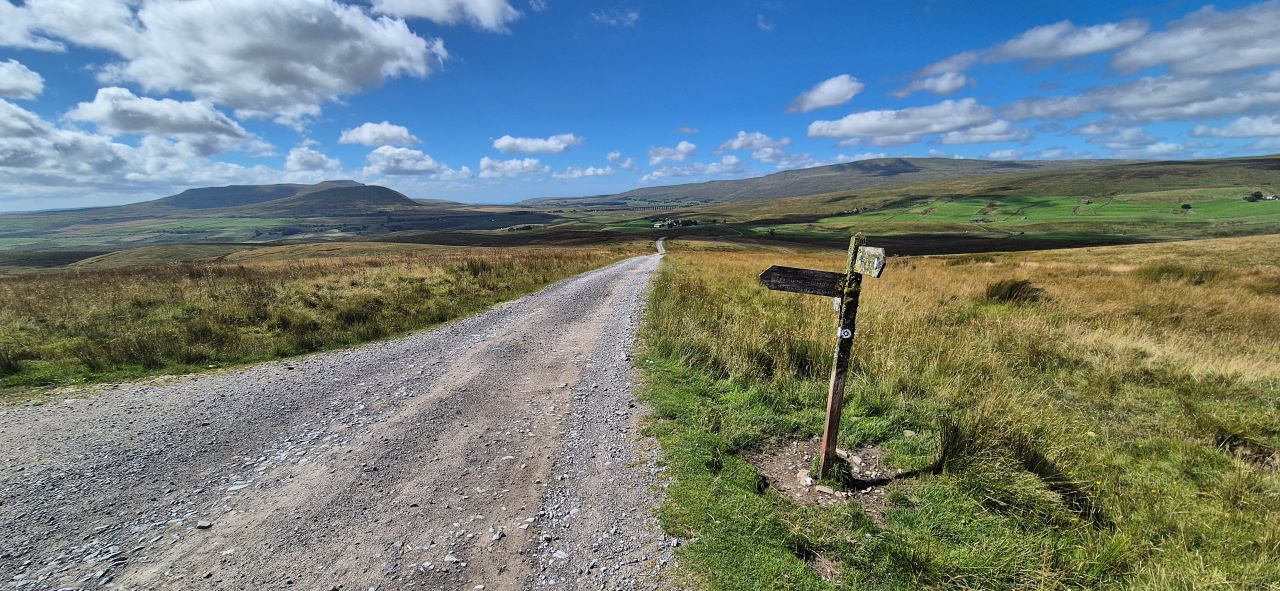
The Pennine Way from Horton to Hawes.
We were first in the queue for the bus which arrived on time and took
us, at a rather hefty pace, to Horton as expected. We began the walk at
just after 10am.
Looking over to Pen-y-ghent from the path. Stunning!
The unstoppable legend that is Ken Hodgkinson.
The route keeps to the green lane for a few miles before reaching the
farm at Old Ing where the path drops down to the impressive Ling Gill
and the bridge. The views over to Ingleborough and Whernside were superb
- everyone was enjoying both the walk and the scenery.
Heading towards Old Ing with Whernside in the distance.
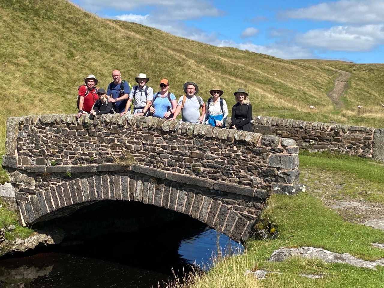
Jon takes on the photographer role for the Ling Gill Bridge team
special.
The gradual climb from Ling Gill Bridge saw us reach Cam End where the
Pennine Way and the Dales Way meet. The extra height gained resulted in
even better views in all directions and a welcome breeze added to the
glories of the day.
Ken decided that it was time for a panoramic video....
Cam End - where the Pennine Way hits the Dales Way.
Lunch was taken at a spot where various arse friendly stones and dry
grass offered seatage. The spot was recognisable for some reason and a
quick
delve into my Pennine Way photos from 1986 confirmed my suspicions:
Sunday 27th July 1986. Young lad walking the Pennine Way in shitty
trainers.
Wednesday 14th August 2024 - the lad in the previous shot has aged
terribly.
There was a smidgeon of uphill to be done after lunch but it was worth
it as a change of direction to the north brought along a change of scenery.
The 3 peaks of Yorkshire were now heading into the southern distance with Great
Shunner Fell and Wild Boar Fell now looming large to the north.
Jane and Ken power on towards Ten End. Things were about to take a
turn for the worst.
After miles of walking the rough and rocky green lanes we had reached
Ten End or, as it's known by its full name, the Ten End Peat Grounds.
The path was now soft and peaty underfoot as the name suggested with the odd wet
patch to negotiate. The views over Wensleydale were superb and in the
distance we could finally see Hawes, our destination for the evening. A
few team members were surprised by how far away it appeared so I decided
to not share the fact that our lodgings for the evening were beyond
Hawes and a short yomp further. I've learnt over the years that telling
the truth gets you nowhere on these walks.
I was walking behind Alison who nearly tripped when the ground she was
walking on moved slightly. Susan reported the same - the peaty ground
was uneven and prone to movement. The 1:25000 OS map details that the
area is covered with shake holes which may account for the general
unevenness.
We'd negotiated Cam Fell and Dodd Fell but we weren't prepared for Jane
Fell. A shout from Ken, who was following Jane, alerted the group that
she had fallen heavily (can Jane fall heavily?) and was having difficulty getting back to her feet. She
finally got up and walked gingerley to meet the rest of the group -
she'd hurt her arm and was in serious pain.
Just below where Jane Fell is an area known as Backsides. Do the
locals know something?
It was some time before Jane felt well enough to continue and, as she
was unable to carry her rucsac, luggage duties were taken on by Mike and
Jon for the remainder of the day's walk. Alison then proceeded to put one
of her feet into a deep hole which resulted in her dropping to near
thigh height. This wasn't going well.
Great Shunner Fell, Hawes, Wensleydale and shake holes.
Jane had to be careful and protect herself from not falling over again as there were
more tussocky areas to cover. After reaching the relative
safety of Gaudy Lane we decided that instead of sticking to the field ridden
Pennine Way route we'd take to the side lanes to minimise the
possibility of further
injury to Jane. We'd reached Hawes but we had another 3\4 of a mile to
our destination - the Stone House Hotel.
The final push to the Stone House. Our descent route off Dodd Fell
in the middle distance.
The Stone House Hotel was as good as expected - in fact, probably
better, and it's up there in being the best place we've stayed whilst
walking. We sat out in the front garden to discuss the day and drink a
few beers. For everyone except Jane and Gordon this was a good moment.
We all enjoyed the Stone House Hotel but Jane's arm wasn't feeling any
better. Talk was had of her going to the nearest hospital but the only one
with any decent facilities was in Harrogate which wasn't a feasible
option at this time of the day. Arrangements were made with the hotel receptionist
to book a taxi to take Jane and Gordon (and possibly Sarah) to Buckden
on the following day as there was no way that Jane was walking. The
weather forecast was also pretty appalling so this was another good
reason to get the taxi booked now rather than risk being stuck.
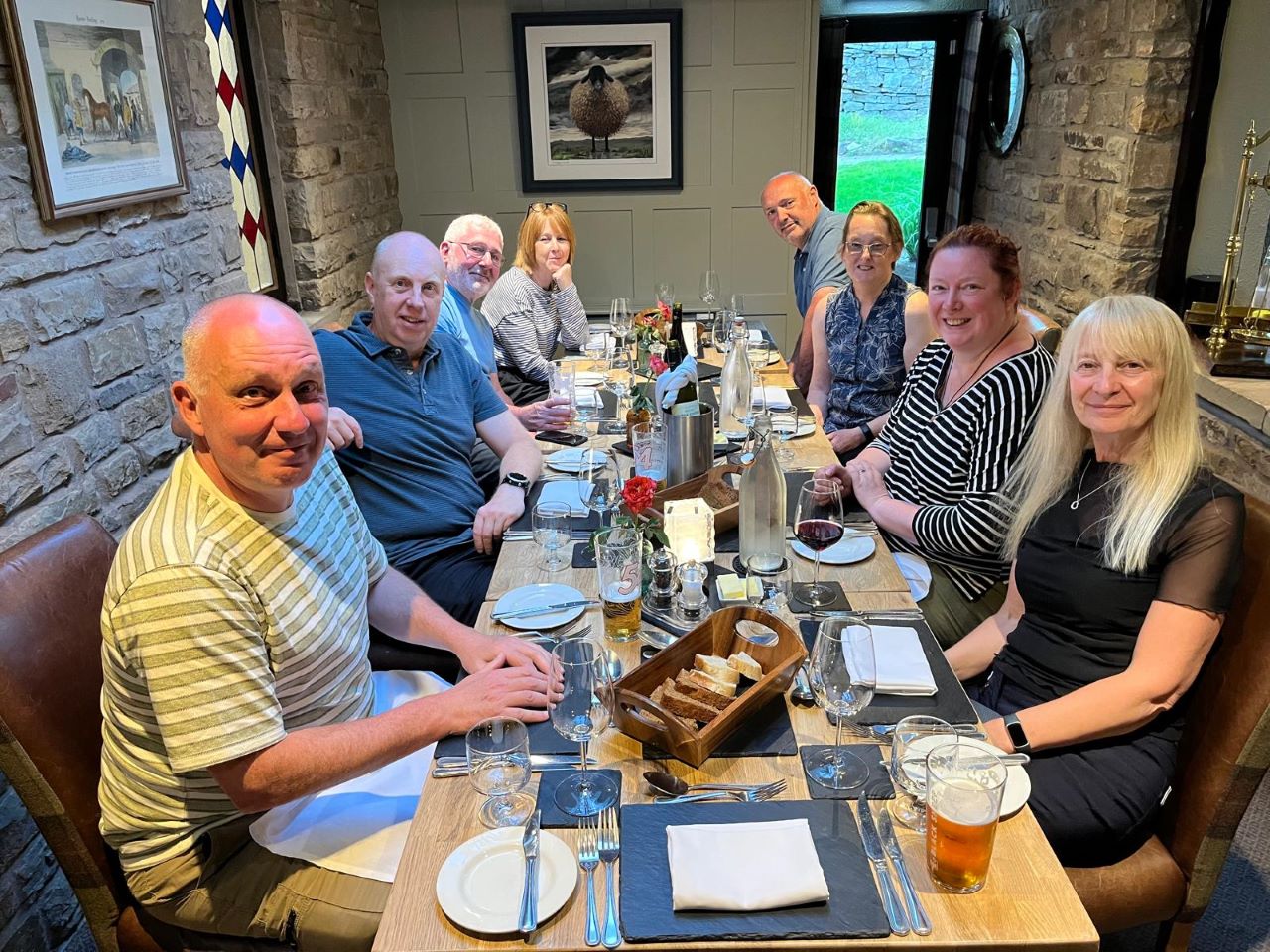
Happy faces at dinner. Even Jane manages a smile despite being in
pain.
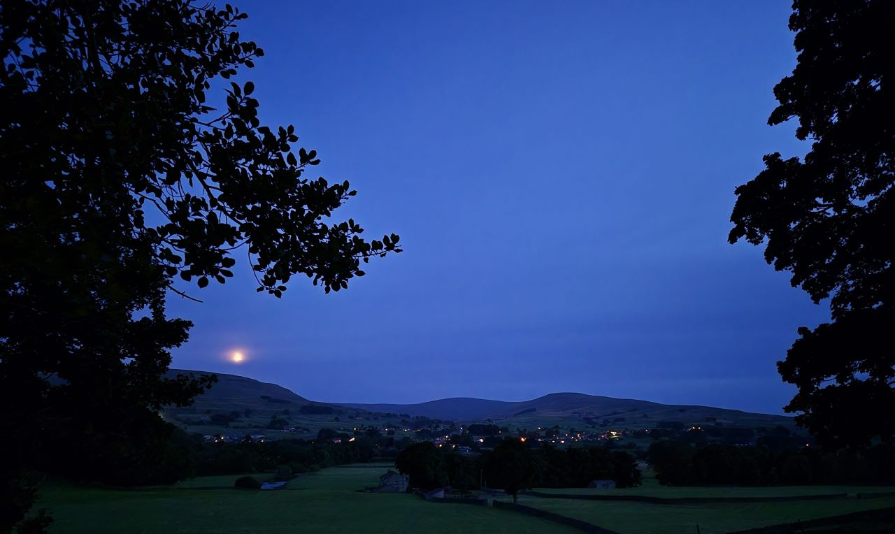
Goodnight sleepy Hawes. What terrors lie ahead?
DAY 4 - Hawes to Buckden (12.5 miles\2000ft ascent)
What a difference a night makes. We awoke to the expected grey
skies and rain. The forecast, sadly, was spot on.
Alison spent the majority of breakfast convincing Sarah that she should
walk rather than take the taxi with Gordon and Jane - it worked! Well
done Alison.
I'd come up with various routes for the day as some of the paths marked
on the OS map weren't very obvious when viewed on Google Earth. I was
also wary of the underfoot conditions if the weather was bad and today,
the weather was bad. I'd devised what I called the 'Wet Weather Route'
which kept to side roads and moorland tracks in an attempt to keep away
from the expected mud and peat.
Today we would be taking the 'Wet Weather Route'.
After saying our goodbyes to the Stone House Hotel, Gordon and Jane we
donned every available waterproof except for Alison who, for some
bizarre reason, had decided to not bring her waterproof bottoms. Answers
on a postcard for that on - UPDATE: Alison has informed me that she
didn't bother with her waterproof bottoms as they wouldn't fit in her
small rucsac.
Back we went over the stoned field track to Hawes and into the shop for a
sandwich. It was wet, very wet.
The route took us along the main road for a short distance and then off
into the fields on a
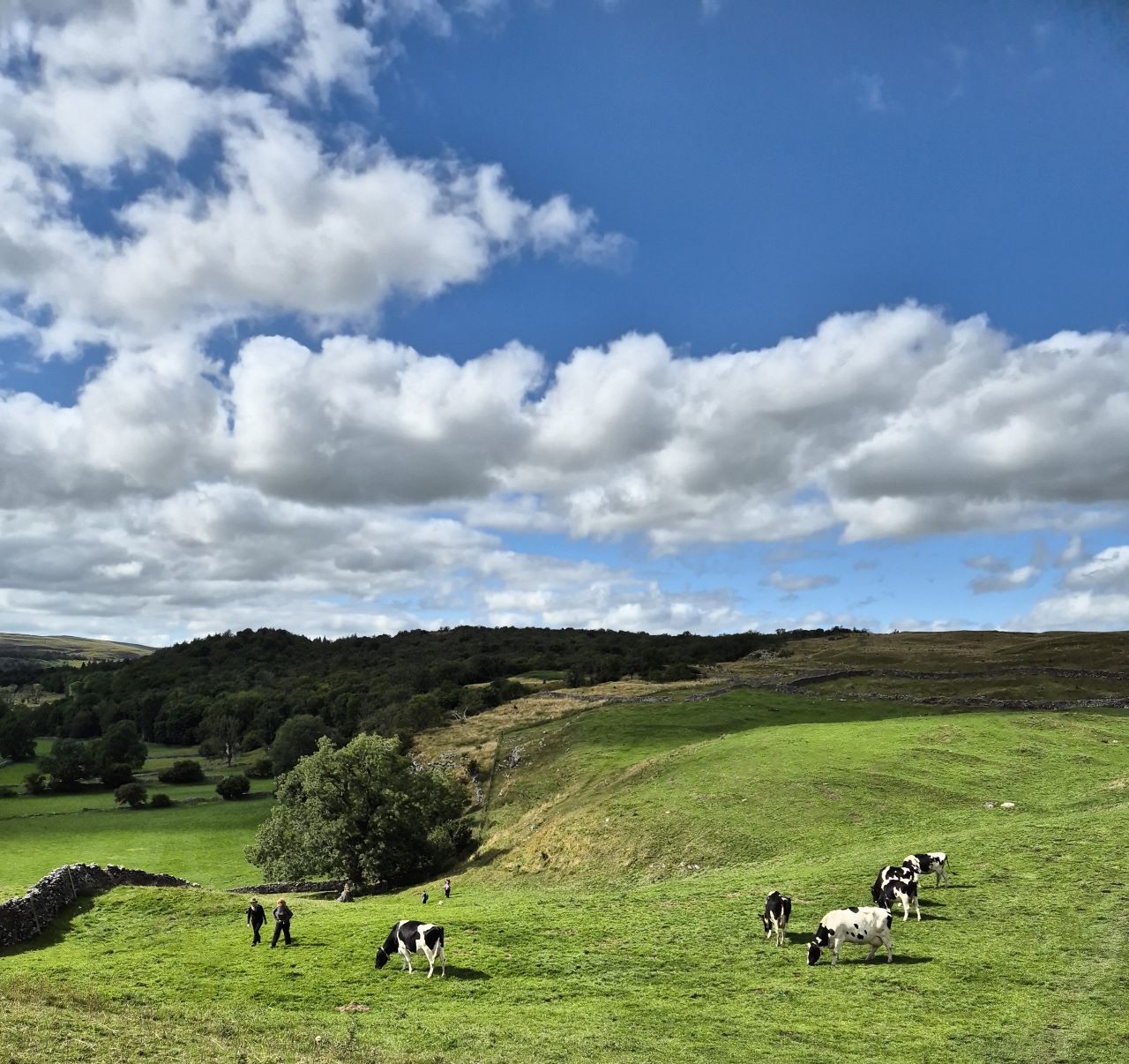
slanting route into the small village of Burtersett. Sheep were
everywhere.
Burtersett would be the point where we hit the side road that would take
us over the hill to Semer Water and beyond. This was the wet weather
route remember so no mud for us!
As we climbed on the road another weather-related factor that we hadn't
considered raised it's ugly head - the wind. We were now being battered
with wind and rain by every step.
Susan smiles for some strange reason. Somewhere in the valley below
is Wensleydale.
The 400ft climb from Burtersett to the highest point of the road felt
more
like 1000ft. The front group decided to wait for Sarah rather than plod
on without her which gave them a chance to make the most of the cool,
refreshing conditions (sarcasm alert).
Sarah wondering how she can get her revenge on Alison.
The top of the road was eventually reached and somewhere, below us, was Semer Water
which from a distance looked like the North Sea around Norway.
We descended to Semer Water where a tactical decision was made to avoid the
originally planned lakeside path taken by the Pennine Journey - we'd stay on the road. Sod
it! The wind and rain was particularly fierce by the side of the lake
but we laughed our way through it with the usual Pighole humour.
Ken, Alison and Susan in a futile attempt to stay dry near Semer
Water.
I can safely say that we all enjoyed the climb on the road to the
charming hamlet of Stalling Busk which was the scene of summery
loveliness when we did the Inn Way to the Dales some years back. Today -
we couldn't even see it.
We finally left the road to join the green lane that should see us
safely across 4 miles of pretty bleak moorland. There was more climbing
to be done
before we reached the summit.
We do it for the views you know. Photo courtesy of Jon Gilson
Aquatic Photography.
Lunch was taken standing up at around half way on the climb up to the
moor as we didn't want to risk eating on the moor top where the wind was
expected to be even
worse. We didn't linger for too long as the aim was to simply get the day
over with.
Another face destroying plod saw us reach the moor top where more
exfoliation was there to be enjoyed. My Goretex Hoka walking boots had
waved the white flag a few miles back but apart from that my Goretex top
and bottoms were doing a great job. Alison's cotton trousers had given up the
ghost at approximately 20 yards after leaving the hotel but something
weird was about to happen.
Ken trying to stay upright on Kidstones Fell.
After what seemed an endless moorland trudge we sensed that we were
going downhill. This included Jon's navigation where, at a point where
he lost sight of the main group, nearly took an incorrect path to the north. This
would have resulted in death.
Alison was having issues with her new, now completely soaked, walking
trousers. A white foamy substance was coming from her inner thigh area
which she had to rub off at approximately 100 yard intervals - it was
really bugging her. I tried to explain that the trousers had probably
been washed in the factory and that the extreme wetness and rubbing was
causing the washing substance to come out. She didn't seem convinced.
A long, slow, descent would see us reach the road where another
weather-related disaster was to strike. We'd spotted numerous vehicles
on the road from high above and wondered what the commotion was all
about. It was simple - the road was flooded and workmen were trying to
fix the issue. We had no option but to march through 20 yards of 5 inch
deep water so If the feet weren't already wet they were now.
The original plan was to take the scenic Pennine Journey route to
Buckden but this set off over numerous fields which I assumed would be soaked,
shitty and crap. It was to be the road for the rest of the walk.
Two miles later and we'd reached Buckden and the Buck Inn, our
accommodation for the evening. Susan, Sarah, Alison and Mike delayed our
eagerly anticipated beer serving by asking to check in and go to their
rooms. Jon and I were disgusted. Our soaked boots and waterproofs were
left in a pile on the bar floor for the landlord to move into the drying
room. Would they be nice and crispy in the morning?
The view was that this was the worst weather we'd encountered in
any of our long distance walks (minus the Pennine Way in 1986) which was
pretty special bearing the mind the horrors of Keswick to Caldbeck on
the Cumbria Way and King's Stanley to Wooton-Under-Edge on the Cotswolds
Way.
Gordon and Jane's taxi booking never materialised so the receptionist
from the Stone House Hotel kindly took them to Buckden. They too had
endured a momentous journey thanks to road works and redirections.
We peeled our clothes off and showered before moving downstairs for
excellent food and beer. The misery of the walk was soon forgotten (I
think) and we
could all, minus Gordon and Jane, look forward to a final day's walk to
Grassington with much improved weather.
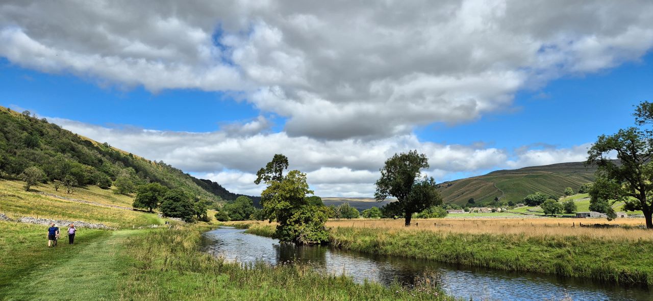
DAY 5 - Buckden to Grassington (10.5 miles\950ft ascent)
We were all looking forward to a leisurely saunter in the
sunshine to Grassington after the rigours of the previous day's walk.
The weather was as sunny as forecast so our wish was granted.
Jane was still incapacitated so she, along with her trusty sidekick
Gordon, would take the bus to Grassington.
The drying room had managed to do a decent job with the waterproofs but
the boots were still soaked. Still, it was the last day so it didn't
really matter. We'd walked this route, or something close to it, on
three separate occasions but this would be the first experience of it in
the north-south direction.
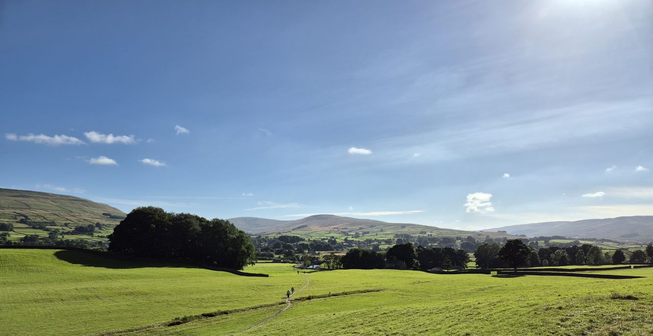
That's better. Easy going on the Dales Way.
The River Wharfe made for scenic viewing for much of the first few
miles and there were noticeably more walkers than any of the previous days
which we put down to the good weather and the easy walking that was on
offer.
More Dales Way loveliness.
A passing bus, which we believed Gordon and Jane had taken, resulted in
the group waving frantically which
puzzled some of the other walkers. Starbotton was passed and then into
Kettlewell which, for some reason, was packed. It turned out to be the
Scarecrow Festival where the residents of Kettlewell put on a show of
scarecrows dressed in various attire - this was the 30th anniversary so
I assume they'd put on a special effort.
The plan was to take in a coffee and cake but expectations of finding
any room were low until Jon noticed a cafe\tent with the seats required
to accommodate us. Coffee and cake it is then!
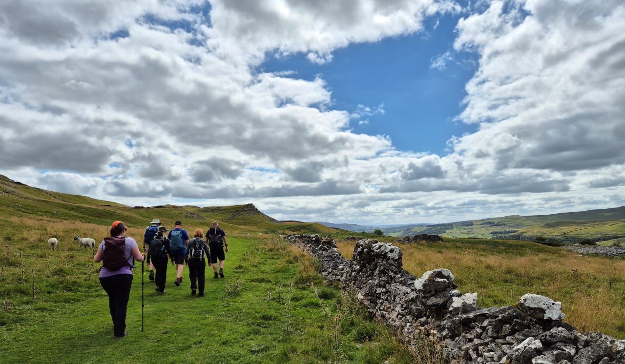
Rather than take the official Dales Way route from Kettlewell that takes
a pointless route through numerous fields a decision was made to stick to the road
(which the Dales Way would eventually join anyway). Before long the easy flat route
takes an uphill direction to reach what can only be described as an
upland plateau halfway up the hill. This would lead us directly to
Grassington.
Heading for Grassington over the moorlands.
The route maintains its height for pretty much of the entire Dales Way
between Scargill and Grassington and, in this weather, it's a joy to
walk on.
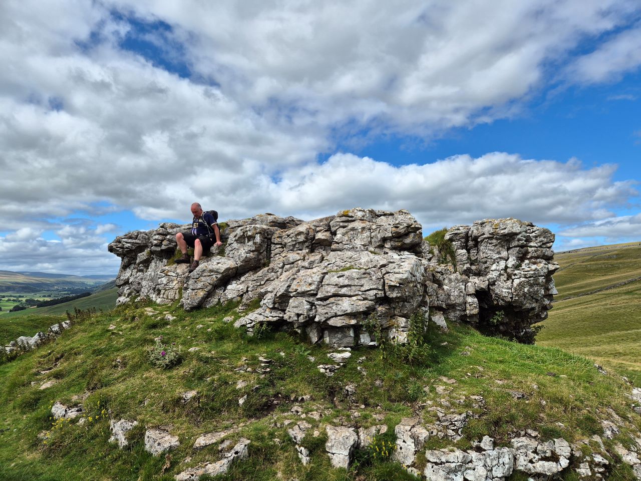
Mike 'Spiderman' Riley descends from Conistone Pie.
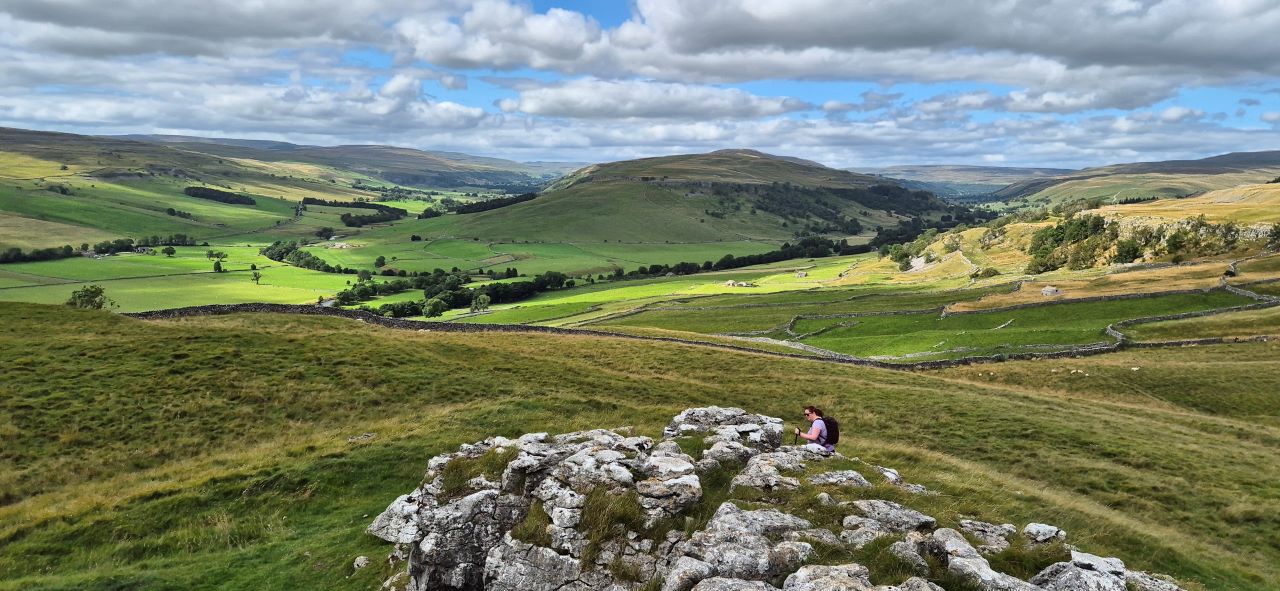
Sarah had no intention of climbing up to Conistone Pie but peer pressure forced
her into it and it is, after all, Pighole tradition to ascend the pie. It's well worth it for the view up the valley:
One more climb Sarah, one more climb.
Thanks to the mild climate and light breeze our boots were now dry. Why
couldn't the weather have been like this yesterday?
We were approaching Grassington when, at the final field, the path
appeared to direct us to the right and down a grassy slope.
One more climb was in order.
Sorry Sarah, this is the last climb. Honest.
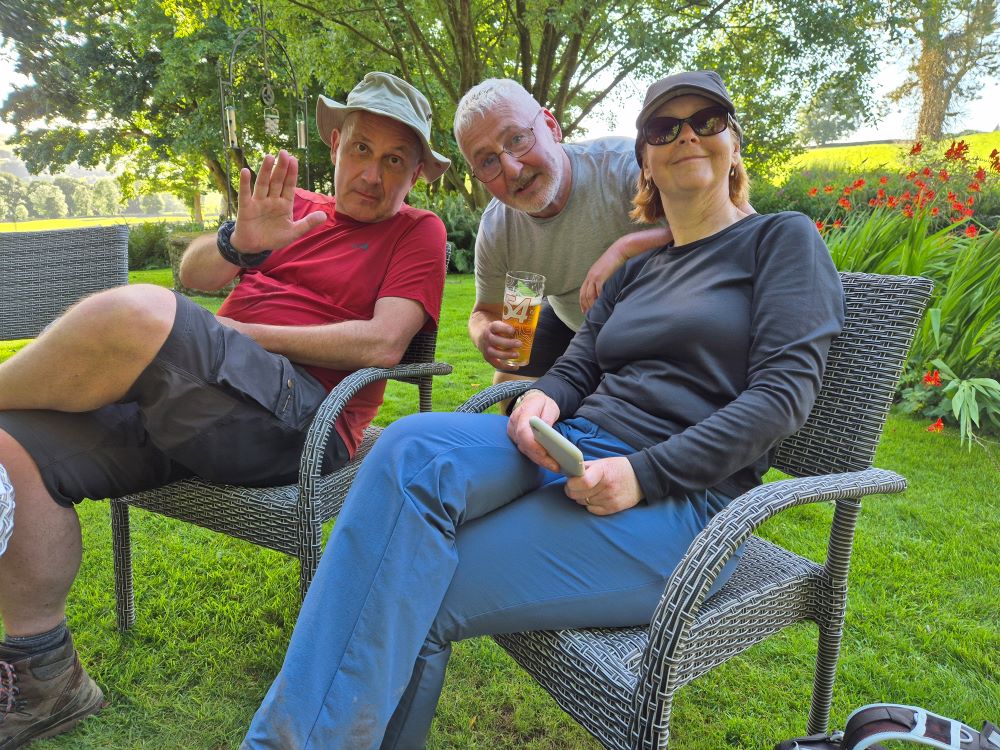
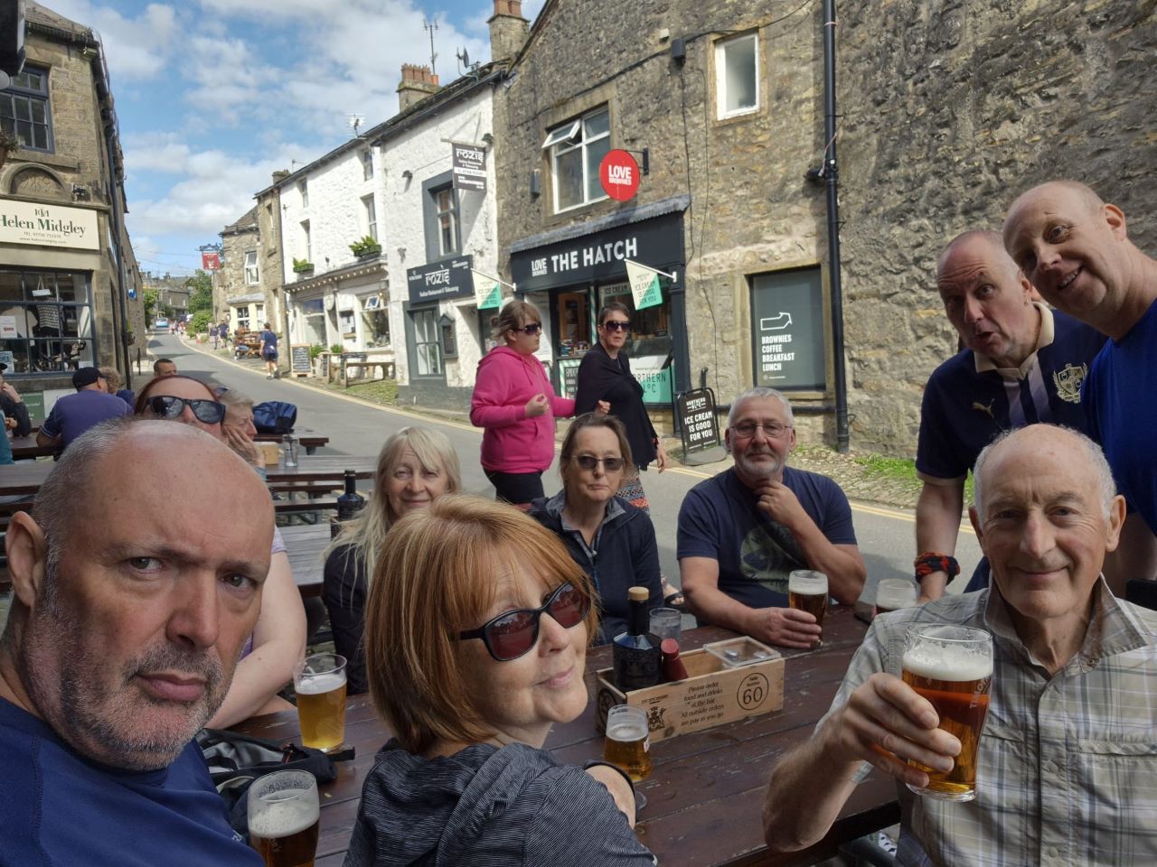
We entered Grassington. Another walk completed!
Walk with God. As usual, Ken had been on top form.
We always seem to head towards the outside seating area of the
Devonshire Arms at the end of any walk that ends in Grassington so why
break the habit of a lifetime.
The end of the walk and Ken's now customary beers. Well done all!
Despite the horrors of Thursday and Jane's injury it had been an
excellent week with the weather being generally better than expected and
the 55 mile route interesting throughout.
Any fitness concerns were smashed for six! Alison was mightily pleased
with her effort as was Sarah. Ken, well, he's Ken.
Mike's Alison travelled up to join us for the weekend where beers, wines
and food were top of the order list along with trips to Ilkely, Skipton
and Kettlewell.
To cap the week off Mike had to be insured to drive Jane's car as she
was unable to drive back home but we all returned successfully.
Jane, after a visit to the hospital, reported that she had in fact
broken her arm so here's hoping that she's fit to rejoin the team
sometime soon.